Sagarmatha National Park
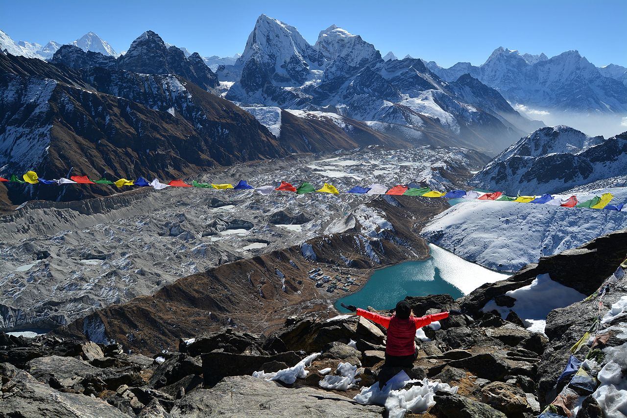
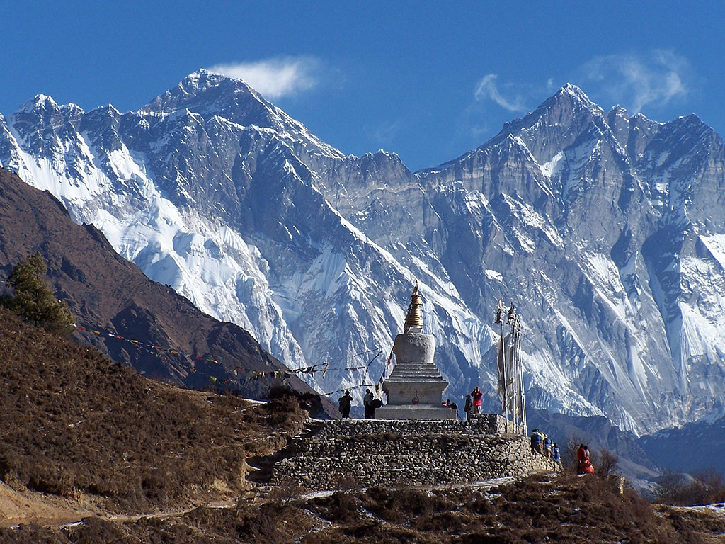
Sagarmāthā National Park is a national park in the Himalayas of eastern Nepal that was established in 1976 and encompasses an area of 1,148 km2 (443 sq mi) in the Solukhumbu District. It ranges in elevation from 2,845 to 8,848 m (9,334 to 29,029 ft) and includes Mount Everest. In the north, it shares the international border with Qomolangma National Nature Preserve in Tibet Autonomous Region. In the east, it is adjacent to Makalu Barun National Park, and in the south it extends to Dudh Kosi river. It is part of the Sacred Himalayan Landscape.
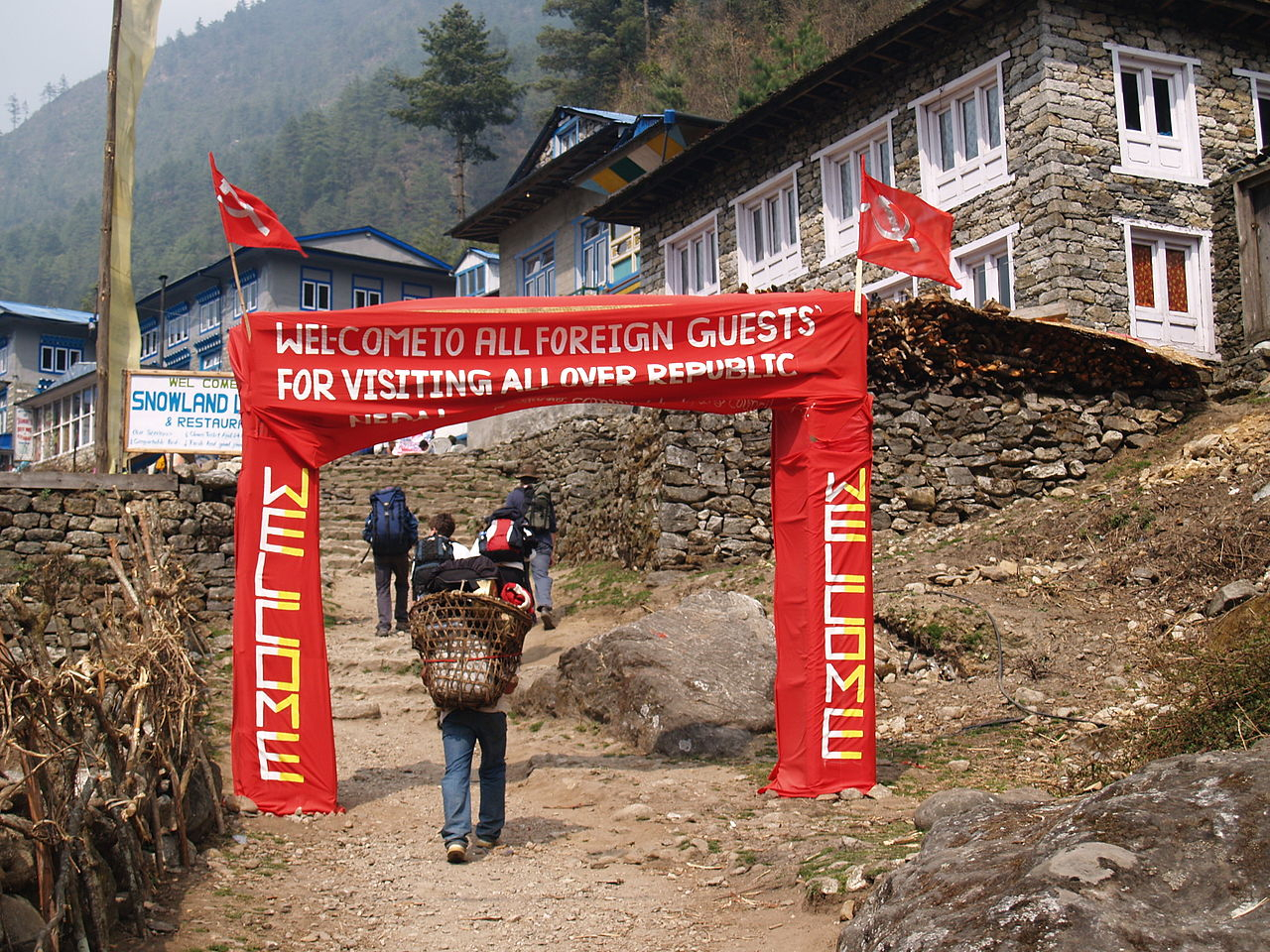
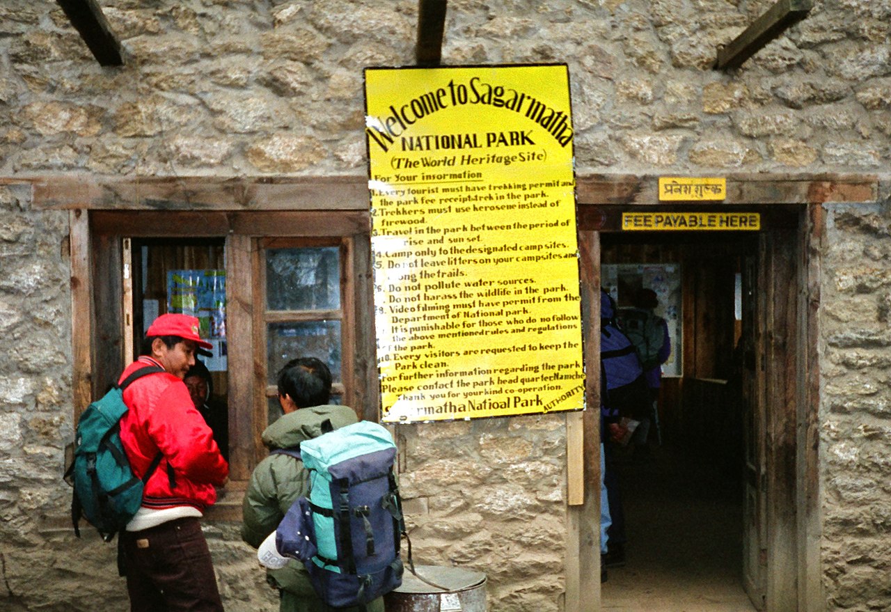
 Entrance gate of the Sagarmatha National Park
Sagarmatha National Park was established on July 19, 1976.[1] In 1979, it became the country's first national park that was inscribed as a Natural World Heritage Site. In January 2002, a Buffer Zone comprising 275 km2 (106 sq mi) was added.[2] Conservation of forests, wildlife, and cultural resources received top priority under the Buffer Zone Management Guidelines, followed by conservation of other natural resources and development of alternative energy.[3] Tourism in the area began in the early 1960s. In 2003, about 19,000 tourists arrived. As of 2005, about 3,500 Sherpa people lived in villages and seasonal settlements situated along the main tourist trails.[4]


Add new comment