Αιτωλικό
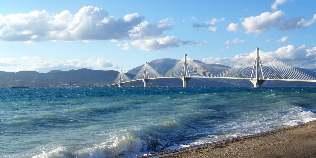
( Aitoliko )Aitoliko (Greek: Αιτωλικό) is a town and a former municipality in Aetolia-Acarnania, West Greece, Greece. Since the 2011 local government reform, it is part of the municipality Messolonghi, of which it is a municipal unit. The municipal unit has an area of 129,305 m2. It is located north of the Acheloos delta. The Greek National Road 5/E55 passes through the municipal unit. It is located SW of Agrinion, about 20 km NW of Messolonghi, W of Nafpaktos and the Rio-Antirrio bridge and SE of Astakos. Until it became a part of Greece, it was known as Anatoliko (Ανατολικό), meaning eastern.
Around 900 A.D, the Byzantine fleet from Naupaktos (Lepanto) at the Gulf of Corinth became the capital and was named Nikopolis. The new capital became secured by the fortress. One of these fortresses were favourable for defense on the island and the lagoons in Aitoliko. Since the 12th century, the island fortress of Anatoliko developed into a city. In 1406, it was sold to Carlo I Tocco of Kefallinia. The Venetian forces divided their incomes from the salt gardens and fishing waters of Anatoliko which lasted until 1430.
During the Greek War of Independence against the Ottoman Empire, in the beginning of the 19th century, Aitolikon experienced three Turkish sieges before it became a part of Greece. There were 500 Greek defenders and 15,000 Turks in the first siege. The second siege was repelled, and in the third siege, Aitolikon was re-taken by the Turks at the same time as Mesolonghi on April 11, 1826. Generals from Greece that participated included Georgios Liakatas.














Add new comment