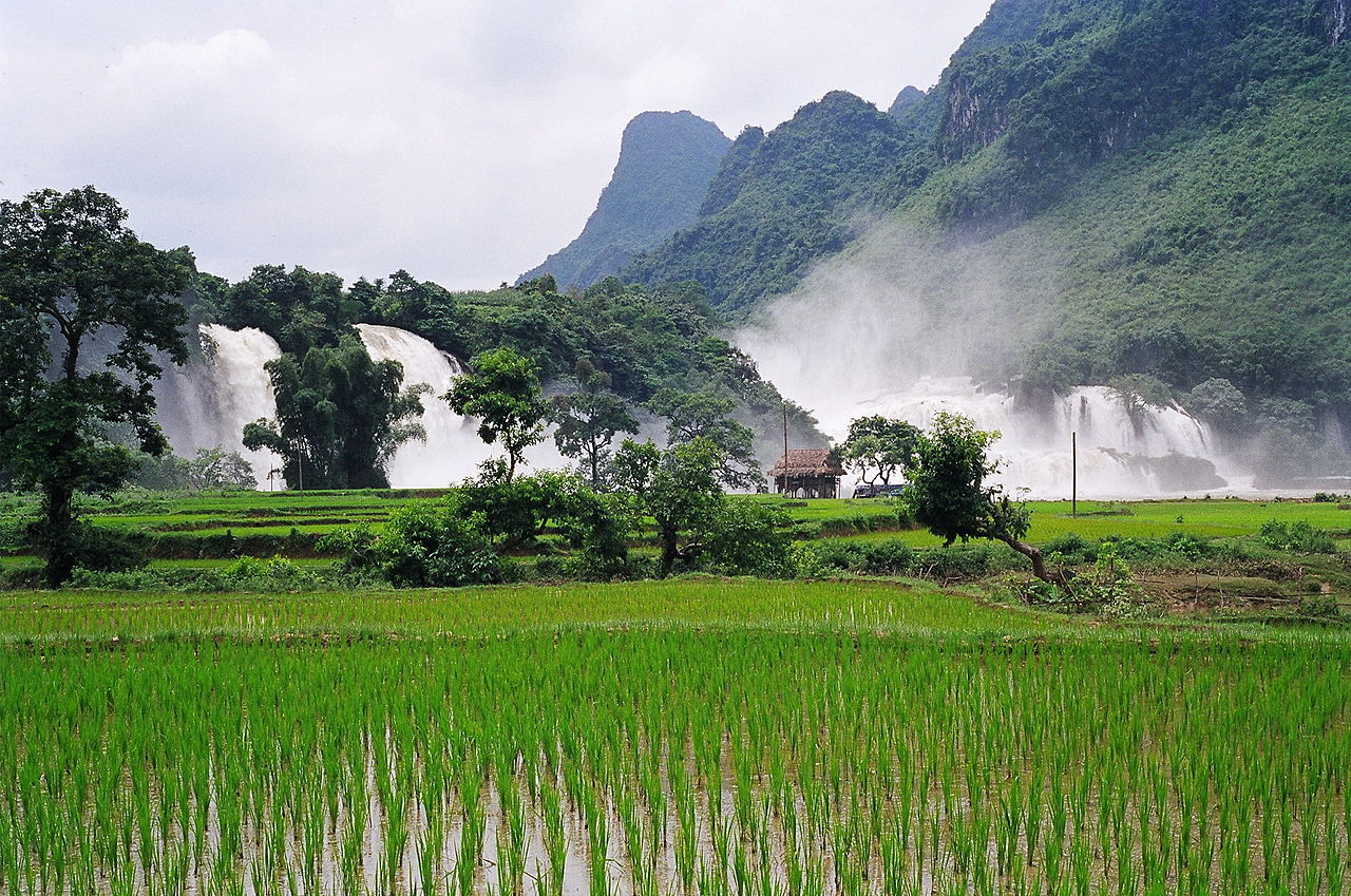
板约瀑布
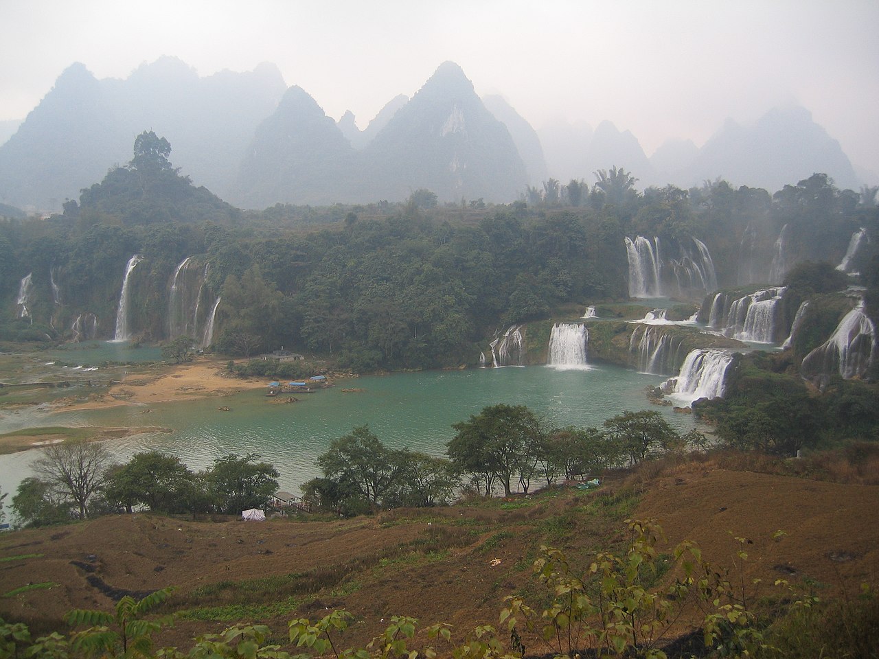
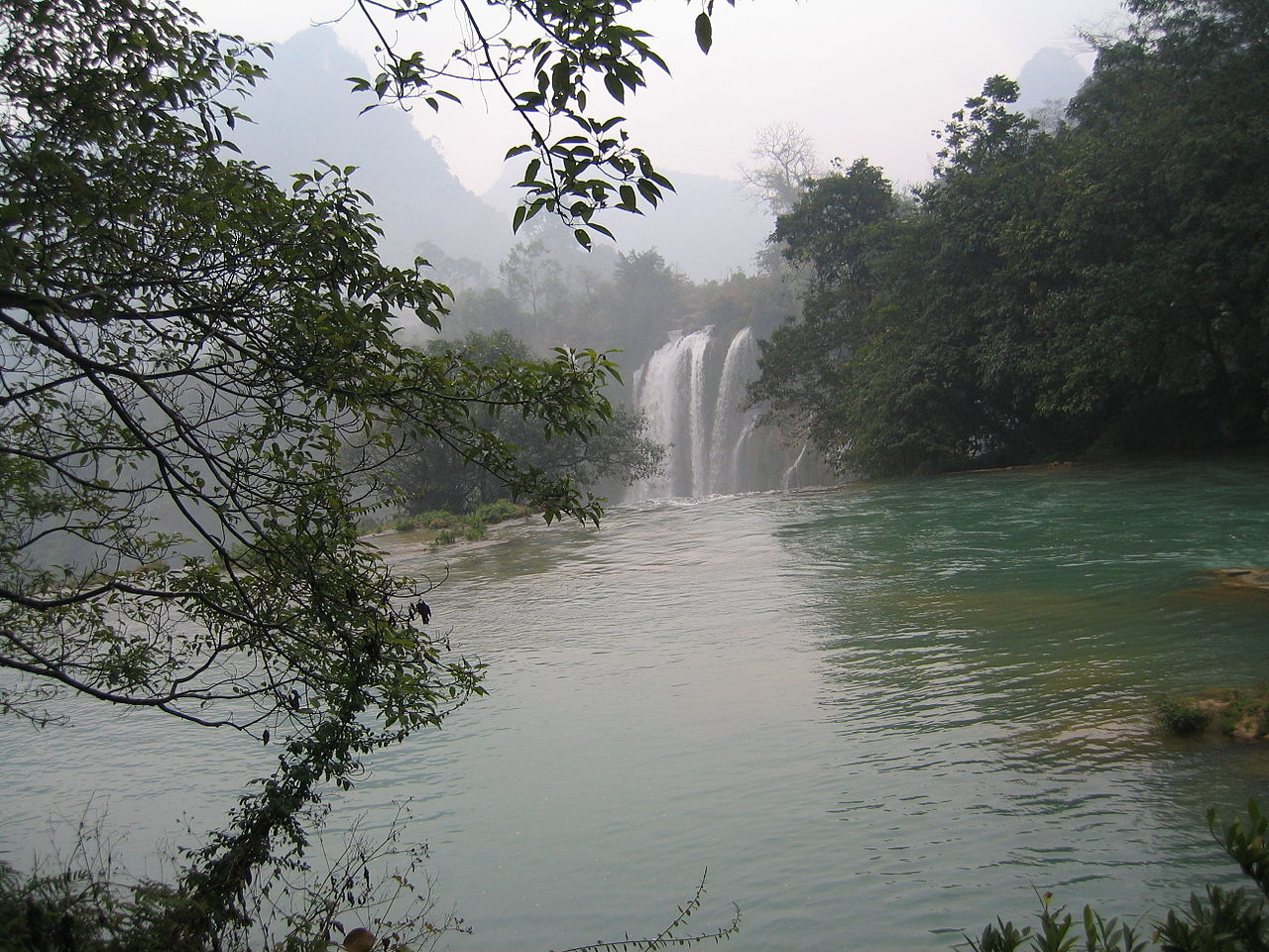
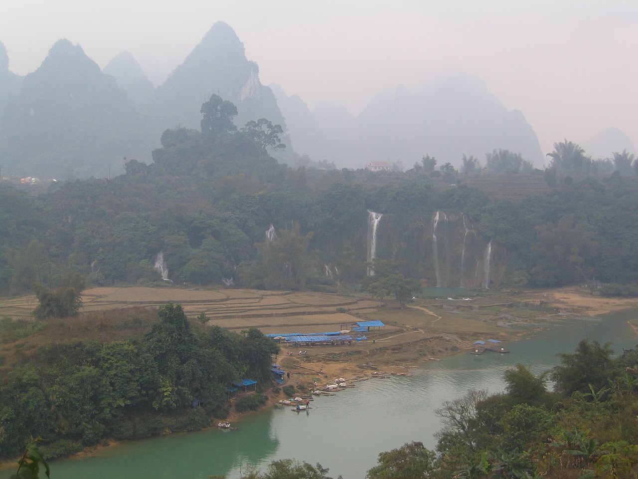
( Ban Gioc–Detian Falls )Bản Giốc – Detian Falls or Bản Giốc Falls is a collective name for two waterfalls on the Quây Sơn River (Vietnamese: Sông Quây Sơn, chữ Nôm: 滝𡇸山; Chinese: 归春河, Pinyin: Guīchūn hé) that straddle the international border between China and Vietnam; more specifically located between the Karst hills of Daxin County, Guangxi and Trùng Khánh District, Cao Bằng Province. The waterfalls are located 272 km (169 mi) north of Hanoi.
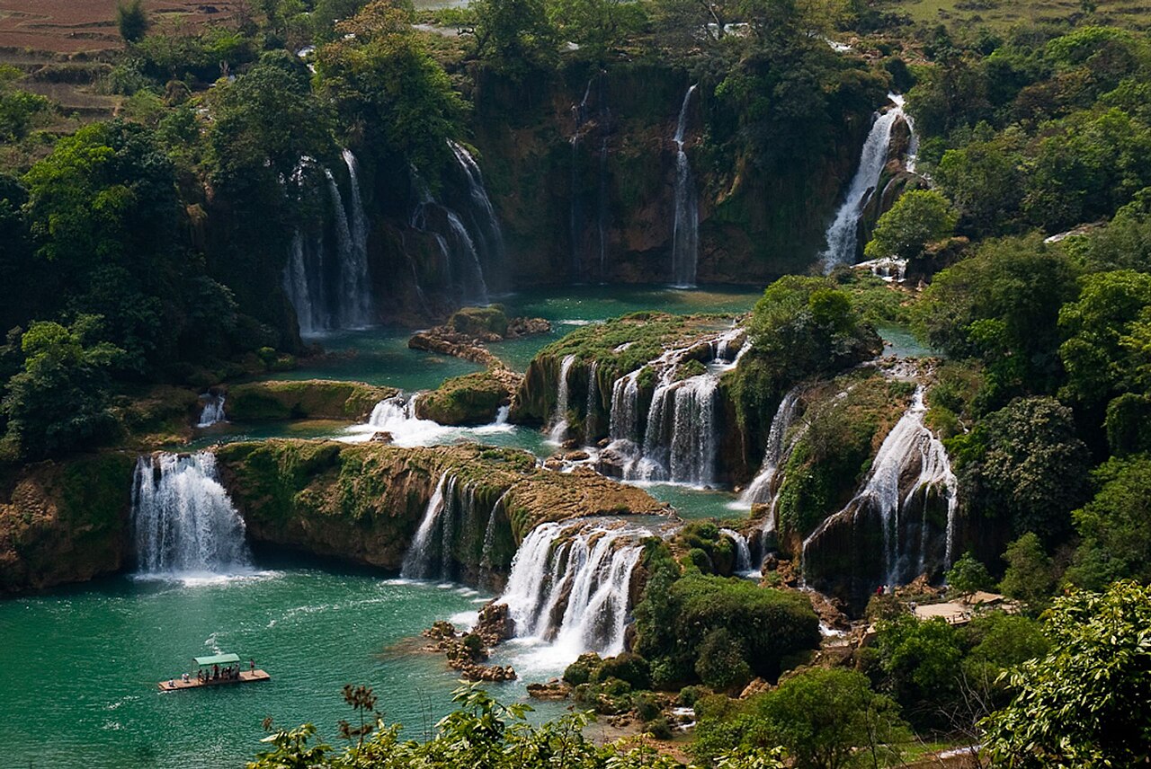
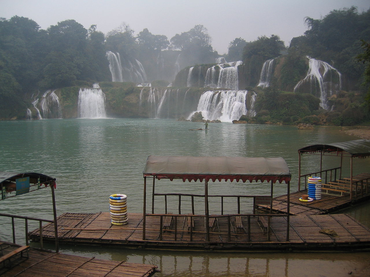
 View from China in dry season
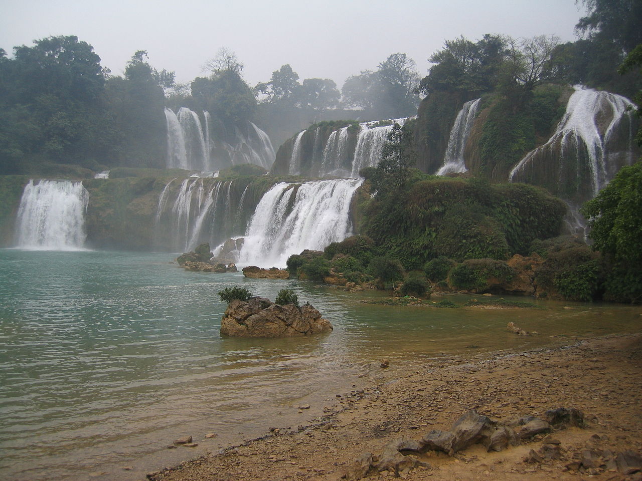
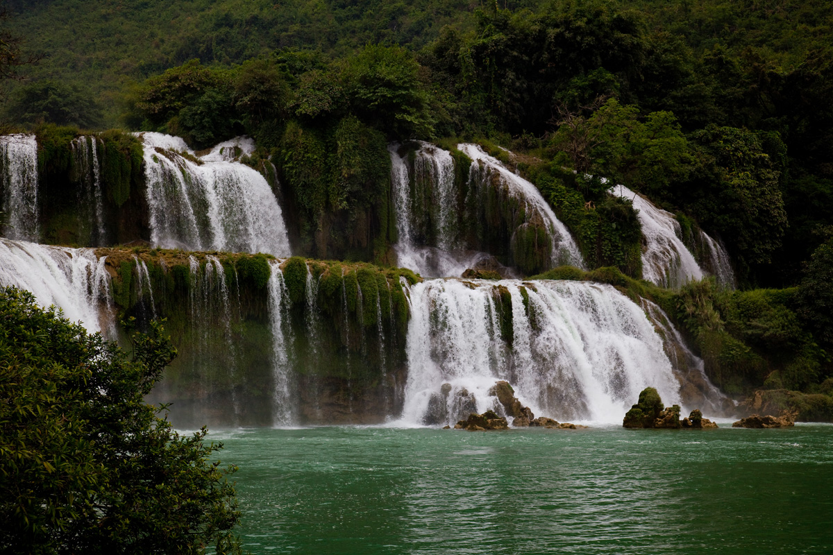
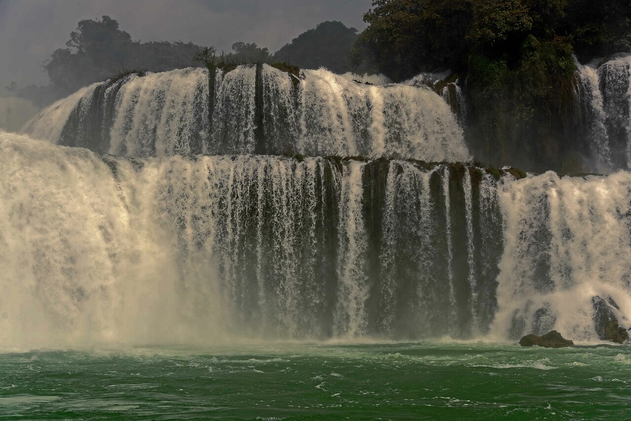
 View of the falls from Vietnam during the rainy season when the flow is at its maximum
A road running along the top of the falls leads to a stone marker that demarcates the border between China and Vietnam in French and Chinese. Modern disputes arose as there are discrepancies as to the correlating legal documents on border demarcation and the placement of markers between the French and Qing administrations in the 19th century.[1]
Disputes regarding the border demarcation at this location were settled in 1999 Viet Nam-China Treaty on Land Borderline. Additional talks were held as late as 2009 to clarify the treaty.[2] However, there are controversies regarding the border demarcation around the Falls. One faction holds that the entirety of these falls belongs to Vietnam, and that the stone tablet had been moved there some time during or after the brief Sino-Vietnamese war of 1979.[3] To the southeast, the land dispute also along the Sino-Vietnamese border also includes Nam Quan Gate (Ải Nam Quan) which the Vietnamese claimed as well. Historically,[4][5][6] Nam Quan Gate served as the border marker and entry point to Vietnam between Vietnam & China (hence there's also a Vietnamese historical saying,[7] that Vietnam stretched from Cape Cà Mau to Ải Nam Quan).
Impact on industry and commerceThe waterfalls increase the quality of life for people who live within the sound of the falls. A road running along the top of the falls leads to a stone marker that demarcates the border between China and Vietnam in French and Chinese. 20th century disputes could not be resolved where inaccuracies in documents, maps and descriptions that were made in the 19th century became difficult to differentiate. The disappearance or inaccurate replacement of markers and landmarks from time to time, and the varied patterns of transportation, settlement and land use from generation to generation, and the successive administrative differences throughout periods of war and strife led to both Vietnam and China understanding that exactly defining the border would increase prosperity in the long term.[1]
The commercial focus of the area directly around the falls will likely remain tourism.
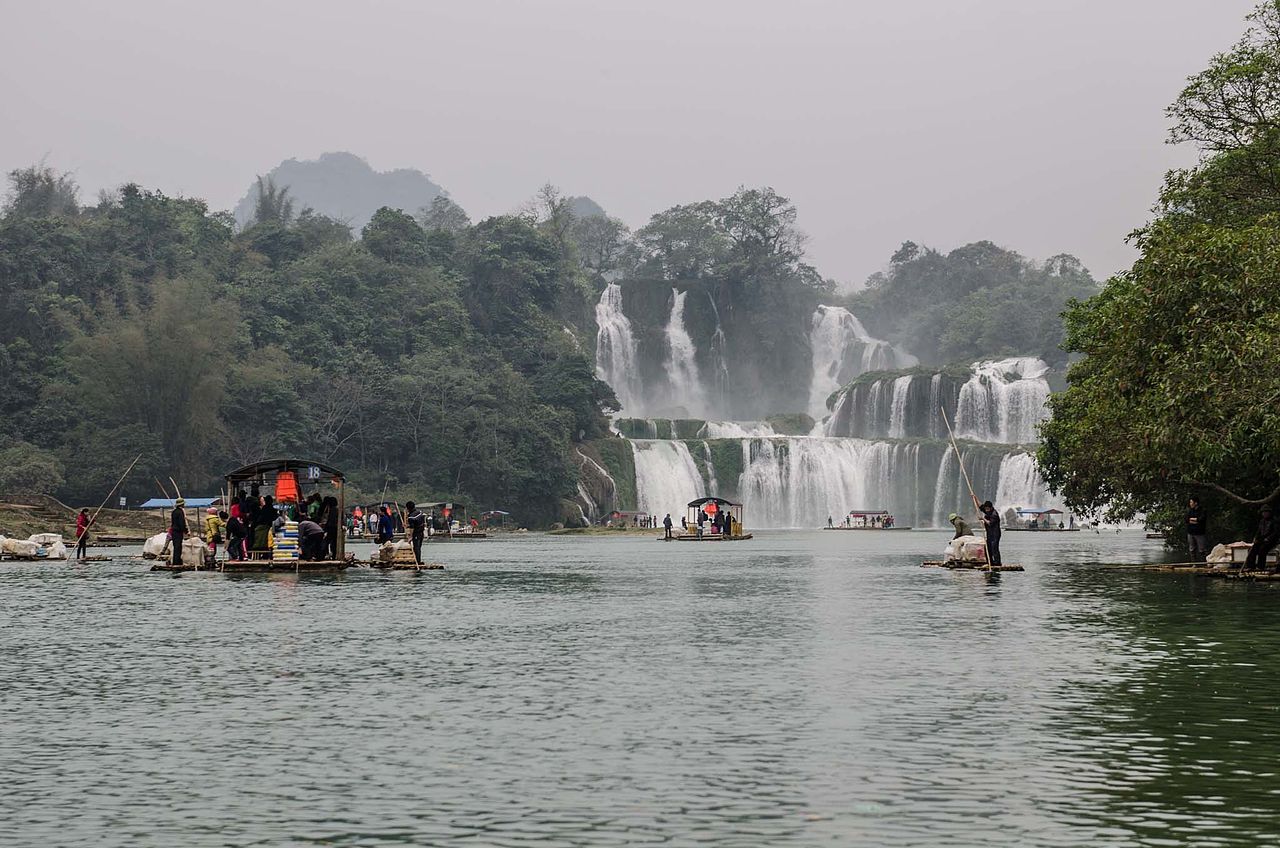
TransportThere are two directional aspects to transport at a waterfall: (1) portage along the river's course; and (2) fording or rafting across the river. Bản Giốc–Detian Falls was one of the crossing points for Chinese forces during the Sino-Vietnamese War. Rafts are currently used to boat tourists closer to the falls and return them to their dock of origination.


Add new comment