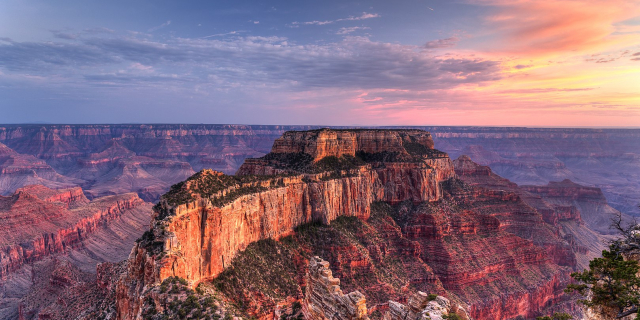
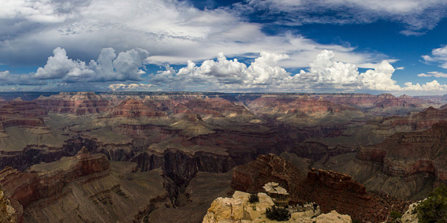
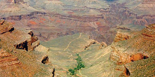
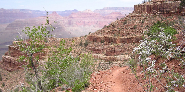
The Bright Angel Trail is a hiking trail located in Grand Canyon National Park in the U.S. state of Arizona.
The upper part of the trail was originally built by the Havasupai people for access to the perennial water source of present-day Garden Creek. The Havasupai settled seasonally in this area, previously known as Indian Garden (or Indian Gardens). In 1903, President Theodore Roosevelt ordered them to leave the area, to make way for a park.[1] However, it was not until 1928 that the last Havasupai left, forced out by the National Park Service.[2]
In November 2022 the U.S. Board on Geographic Names approved a name change to Havasupai Gardens requested by the National Park Service on behalf of the Havasupai tribe, who regarded the old name as offensive and a painful reminder of past injustices. A ceremony highlighting the new name was planned for spring 2023.[3]
Ralph Cameron Ralph Cameron
Ralph H. Cameron, who would later become a United States senator (R-AZ 1921–27), settled on the canyon rim in 1890 and began improving the old Havasupai trail. It was at this time that the trail was extended all the way to the Colorado River. Once official control of the trail fell to Cameron, he named it the Bright Angel Trail, commonly referred to in its early years as Cameron's Trail, and began charging a $1 toll to access it, plus additional fees for drinking water and the use of outhouses at Havasupai Gardens.
Kolb brothersEllsworth Kolb[4] arrived at the Grand Canyon to work at the Bright Angel Hotel in 1901. He was employed as a bellboy. The next year, Ellsworth invited his brother Emery to come to the canyon as the possibility of mine work opened up. However, John Hance's asbestos mine closed before he arrived, leaving Emery unemployed.
Shortly after this, Emery discovered a photography business for sale in Williams, Arizona. He purchased the business for US$425 (equivalent to about $14,400 in 2022)[5] and moved the operation back to the Grand Canyon. He and Ellsworth began taking photographs of visitors who took the mule rides down Cameron's trail, charging a fee for the pictures. The Cameron family leased a small piece of land nearby to Emery, where the two brothers set up a photography studio in a tent to develop and sell their photos.
The business was profitable and after a few years the Kolb brothers built their permanent studio building on the rim of the canyon. Rock was blasted away to provide the foundation for the building, which is perched slightly below rim level.
Ellsworth left the venture in 1924, but Emery continued operating the studio until his death in 1976. The present-day Kolb Studio is operated by the Grand Canyon Association as a gift shop, art studio, and history center.
Competition with CameronTo compete with Cameron, the Atchison, Topeka and Santa Fe Railway improved an existing horsethief trail in Hermit Canyon (the Hermit Trail) in 1911. In 1924, the newly created National Park Service began construction of the South Kaibab Trail near Yaki Point as an additional bypass for Cameron's tolls.[6]
National Park Service ControlAfter a long series of legal battles, the trail was turned over to the National Park Service in 1928.[7]












Add new comment