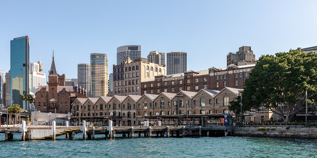
Byron Bay (Minjungbal: Cavvanbah) is a beachside town located in the far-northeastern corner of the state of New South Wales, Australia on Bundjalung Country. It is located 772 kilometres (480 mi) north of Sydney and 165 kilometres (103 mi) south of Brisbane. Cape Byron, a headland adjacent to the town, is the easternmost point of mainland Australia. At the 2021 census, the town had a permanent population of 6,330. It is the largest town of Byron Shire local government area, though not the shire's administrative centre (which is Mullumbimby).
Byron Bay and surrounds are located on traditional lands of the Bundjalung Nation of the Arakwal, Minjungbal and the Widjabul people who have lived by the coast for at least 22,000 years.[1] Traditional custodians of the region believe that the land and people were created by Nguthungulli, who rests at what is now called Julian Rocks.[2] The traditional name of the township area was Cavvanbah, meaning "meeting place".[3] Significant totems for the area include Wajung and Kabul.[4]
In 1770 Lieutenant James Cook found safe anchorage and named Cape Byron after a fellow sailor Vice Admiral 'Foul-Weather Jack' John Byron, circumnavigator of the world and grandfather of the poet Lord Byron.[5][6] European settlement in the area took place in the 1830s. A massacre took place in the 1850s, south of Suffolk Park where the quarry is today.[2]
The first industry in Byron was cedar logging from the Australian red cedar (Toona ciliata). The timber industry is the origin of the word "shoot" in many local names – Possum Shoot, Coopers Shoot and Skinners Shoot – where the timber-cutters would "shoot" the logs down the hills to be dragged to waiting ships.[7] Timber getting became insignificant after World War I. As a result, many former timber workers became farmers.
Gold mining of the beaches was the next industry to occur. Gold was discovered in Byron Bay in 1870.[8] Up to 20 mining leases set up on Tallow Beach to extract gold from the black sands around the 1870s.
Byron Bay has a history of primary industrial production (dairy factory,[9] abattoirs, fishing, and whaling until 1963) and was a significant, but hazardous, sea port. The poet Brunton Stephens spoke of cattle grazing on the "mossy plains" of Cape Byron in a poem he penned in 1876.
The first jetty was built in 1886, and the railway was connected in 1894, and Cavvanbah became Byron Bay in 1894.[10] Dairy farmers cleared more land and settled the area. In 1895, the Norco Co-operative was formed to provide cold storage and manage the dairy and processes meat industry.[10][11] The introduction of paspalum grass improved production, and Byron Bay exported butter from its depots at Murwillumbah and Lismore to the world.[12]
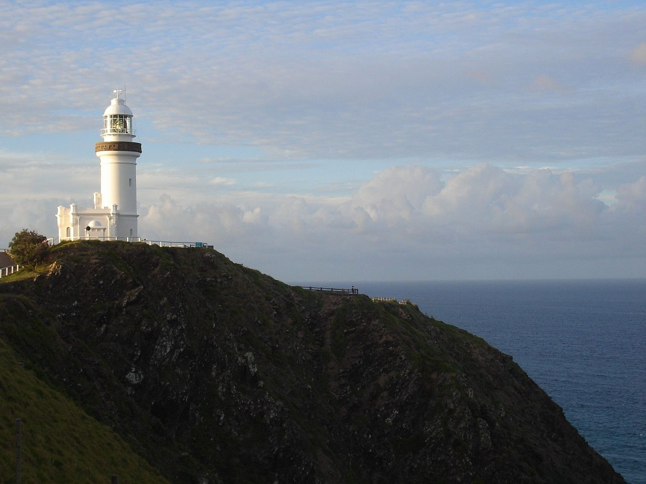
The Cape Byron Lighthouse was built in 1901 at the most easterly point on the Australian mainland.[10] Its construction destroyed a significant Arakwal men's ceremonial ground.[2]
In 1930, the first meatworks opened.[10] The smell from the meat and dairy works was appalling and the annual slaughter of migrating whales in the 1950s and 1960s made matters worse.[13] Sand mining for monazite (zircon, uranium and thorium) between the World Wars damaged the environment further.[14][15][16] Mining ceased in 1968 and processing in 1972.[17]
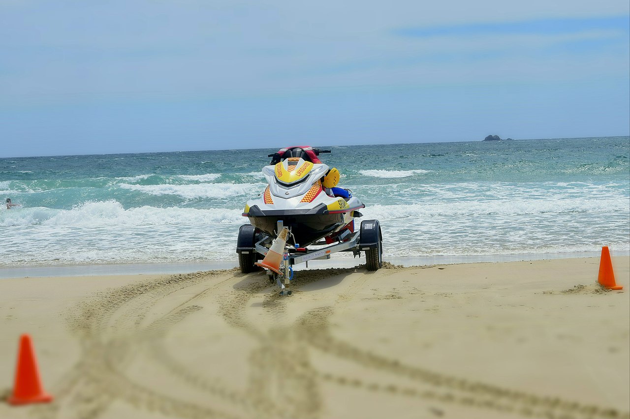
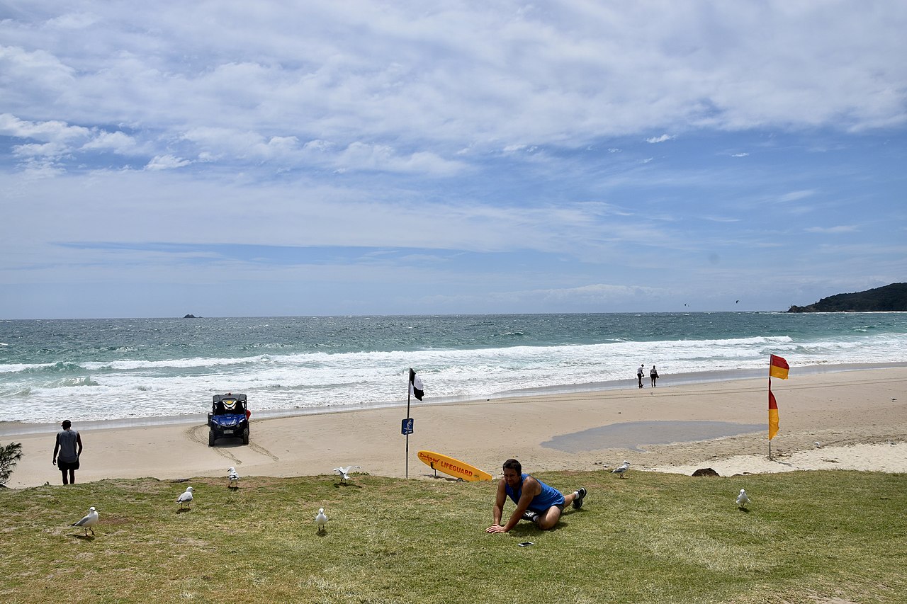
Longboard surfers arrived in the 1960s and used natural breaks at The Pass, Watego's, and Cosy Corner. This was the beginning of Byron Bay as a travellers' destination, and by 1973, when the Aquarius Festival was held in nearby Nimbin, its reputation as a hippy, happy, alternative town was established, although tourism facilities remained minimal.[18] From the 1980s, tourism began to develop in earnest, with the cash-poor surfers and hippies supplemented, and to a degree supplanted, by cash-rich conspicuous consumers who in turn stimulated the development of retail precincts and accommodation more tuned to their needs.
In 1994, a native title claim was made by Arakwal Elders Lorna Kelly, Linda Vidler and Yvonne Graham. After seven years of negotiation, an Indigenous Land Use Agreement was formed with the State of New South Wales in 2001, a national first and precedent for subsequent agreements around Australia. Two further local agreements also followed.[19]
Today, Byron Bay is one of the most up-market residential areas on the Australian east coast with the growth in multi-million dollar mansions now pushing the median value of house sales up beyond AU$1.5 million in 2017, over a 100% increase since 2013, based on 2018 data from realestate.com.au.[20] At the same time, the town has not lost its attraction to a diverse range of visitors including surfers, backpackers and general tourists interested in the natural attractions of the area, and also supports a healthy cross section of creative persons including artists, craftspersons and musicians, while its more recent hippy/new age past is reflected to a degree in a prevalence of alternative "new-age" shops, "spiritual" services such as meditation and yoga classes, and holistic healing/"wellness" retreats.[21] As at 2018, the town is cited as having around 5,000 permanent residents, while being visited by 2 million tourists each year.[22]
A number of shipwrecks litter the bay and surrounding areas.[23] A total 16 are known with the most famous of these being the 'Wollongbar' which due to bad conditions sank off the eastern tip of Belongil beach, it now rests about 150 metres (490 ft) from the coast and is still visible above water during low tide.[24]


. - CC BY-SA 3.0")
![[node:title]](/sites/default/files/styles/640x320/public/default_images/default_0.JPG?itok=nAKl_DR1)


Add new comment