Dunquin
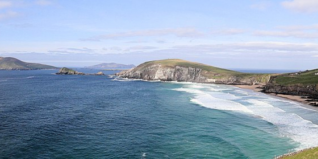
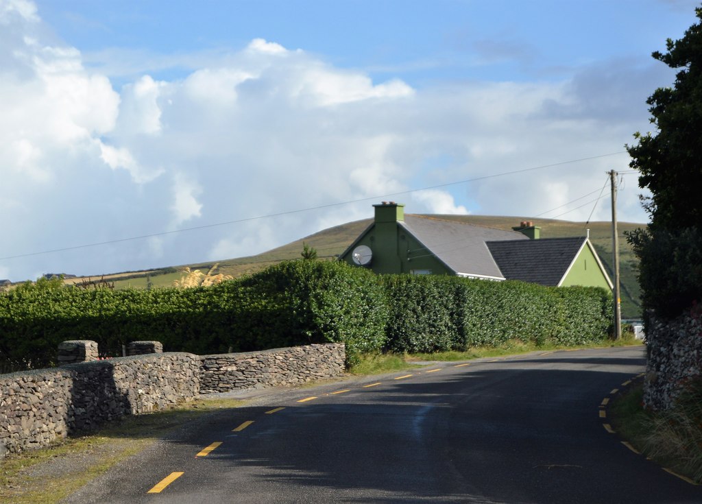
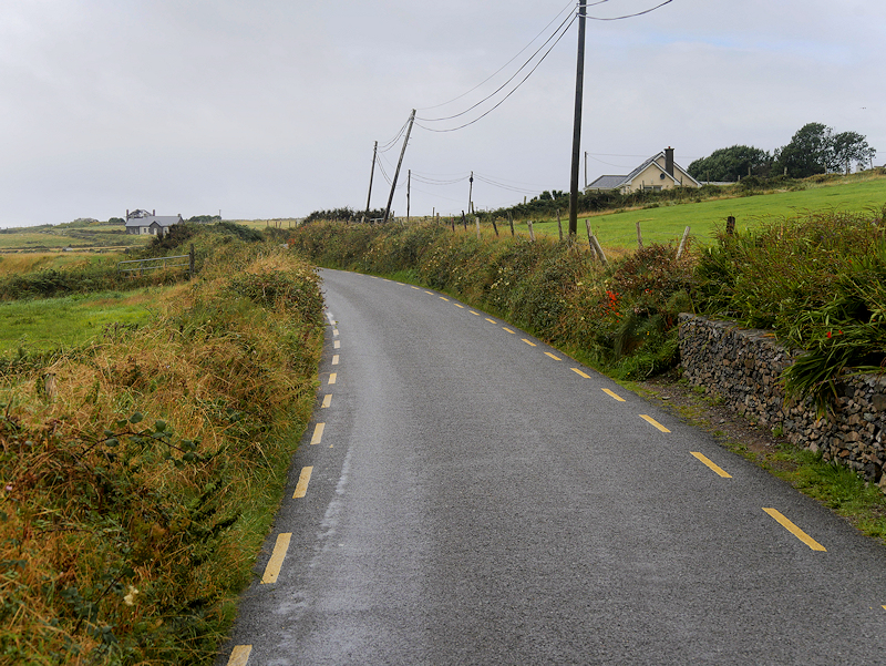
Dún Chaoin (Irish, meaning 'pleasant fort [ˌd̪ˠuːn̪ˠ ˈxiːnʲ]), unofficially anglicized as Dunquin, is a Gaeltacht village in west County Kerry, Ireland. Dunquin lies at the most westerly tip of the Dingle Peninsula, overlooking the Blasket Islands. At 10°27'16"W, it is the most westerly settlement of Ireland and of Eurasia, excluding Iceland. Nearby Dunmore Head is the most westerly point of mainland Ireland. The town is linked to Dingle via the R559 regional road. It is also part of the civil parish of the same name. In summer a ferry connects the village with the main island of the Blasket Islands.
There is dramatic cliff scenery, with a view of the Blasket Islands, where Peig Sayers lived. A museum in the village tells the story of the Blaskets and the lives of the people who lived there including the well-known writers of the island, which includes Sayers, Tomás Ó Criomhthain, an...Read more
Dún Chaoin (Irish, meaning 'pleasant fort [ˌd̪ˠuːn̪ˠ ˈxiːnʲ]), unofficially anglicized as Dunquin, is a Gaeltacht village in west County Kerry, Ireland. Dunquin lies at the most westerly tip of the Dingle Peninsula, overlooking the Blasket Islands. At 10°27'16"W, it is the most westerly settlement of Ireland and of Eurasia, excluding Iceland. Nearby Dunmore Head is the most westerly point of mainland Ireland. The town is linked to Dingle via the R559 regional road. It is also part of the civil parish of the same name. In summer a ferry connects the village with the main island of the Blasket Islands.
There is dramatic cliff scenery, with a view of the Blasket Islands, where Peig Sayers lived. A museum in the village tells the story of the Blaskets and the lives of the people who lived there including the well-known writers of the island, which includes Sayers, Tomás Ó Criomhthain, and Muiris Ó Súilleabháin. In 1588, when the Spanish Armada returned via Ireland many ships sought shelter in the Blasket Sound — the area between Dún Chaoin and the Islands — and some were wrecked there. A memorial stands on the cliffs overlooking the site. Dunquin is located on the Dingle Way, which is a 179 km circular walking trail which takes in much of the Dingle peninsula.


. - CC BY-SA 2.5")


Add new comment