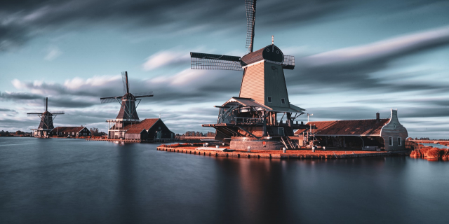
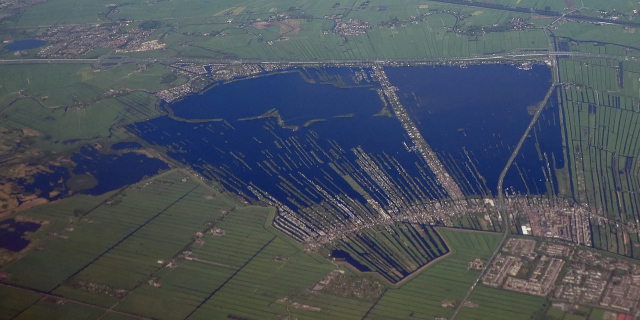
Gouda (Dutch pronunciation: [ˈɣʌudaː] ) is a city and municipality in the west of the Netherlands, between Rotterdam and Utrecht, in the province of South Holland. Gouda has a population of 75,000 and is famous for its Gouda cheese, stroopwafels, many grachten, smoking pipes, and its 15th-century city hall. Its array of historic churches and other buildings makes it a very popular day-trip destination.
In the Middle Ages the Van der Goude family founded a settlement at the location of the current city and built a fortified castle alongside the banks of the Gouwe River, from which the family and the city took their names. Locals long called the settlement Ter Goude, or Tergou or Tergouw for short. The area, originally marshland, developed over ...Read more
Gouda (Dutch pronunciation: [ˈɣʌudaː] ) is a city and municipality in the west of the Netherlands, between Rotterdam and Utrecht, in the province of South Holland. Gouda has a population of 75,000 and is famous for its Gouda cheese, stroopwafels, many grachten, smoking pipes, and its 15th-century city hall. Its array of historic churches and other buildings makes it a very popular day-trip destination.
In the Middle Ages the Van der Goude family founded a settlement at the location of the current city and built a fortified castle alongside the banks of the Gouwe River, from which the family and the city took their names. Locals long called the settlement Ter Goude, or Tergou or Tergouw for short. The area, originally marshland, developed over the course of two centuries. By 1225, a canal was linked to the Gouwe and its estuary became a harbour. in 1272 Floris V, Count of Holland granted the town city rights.
 City centre of Gouda in 1650, by Joan Blaeu
 Gouda's 15th-century town hall (1449–1459, formerly moated)[1]
Around the year 1100, the area of present-day Gouda was swampy and covered with a peat forest, crossed by small creeks such as the Gouwe. Along the shores of this stream near the current market and city hall, peat harvesting began in the 11th and 12th centuries. In 1139, the name Gouda was first mentioned in a document of the Bishop of Utrecht.
In the 13th century, the Gouwe was connected to the Oude Rijn (Old Rhine) by means of a canal and its mouth at the Hollandse IJssel was developed into a harbour. Castle Gouda was built to protect this harbour. This shipping route was used for trade between Flanders and France with Holland and the Baltic Sea. In 1272, Floris V, Count of Holland, granted city rights to Gouda, which by then had become an important location. City-canals (Dutch: grachten were dug and served as transport ways through the town.
Great fires in 1361 and 1438 destroyed the city. In 1572, the city was occupied by les Gueux (Dutch rebels against the Spanish King) who also committed arson and destruction. In 1577 the demolition of Castle Gouda began.
1551 marked the founding of the oldest still-functioning inn, De Zalm, located on Markt 34, near the historic Waag building.
In 1574, 1625, 1636, and 1673, Gouda suffered from deadly plague epidemics, of which the last one was the most severe: 2995 persons died, constituting 20% of its population.[2]
In the last quarter of the 16th century, Gouda had serious economic problems. It recovered in the first half of the 17th century and even prospered between 1665 and 1672. However, its economy collapsed again when the Franco-Dutch War broke out in 1672 and the plague decimated the city in 1673, even affecting the pipe industry. After 1700, Gouda enjoyed a period of progress and prosperity until 1730. Then another recession followed, resulting in a long period of decline that lasted well into the 19th century.[3] Gouda was one of the poorest cities in the Netherlands during that period: the terms "Goudaner" and "beggar" were considered synonymous.[4]
Starting in 1830, demolition of the city walls began. The last city gate was torn down in 1854. Only from the second half of the 19th century onward did Gouda start to profit from improved economic conditions. New companies, such as Stearine Kaarsenfabriek (Stearine Candle Factory) and Machinale Garenspinnerij (Mechanized Yarn Spinnery), gave impetus to its economy. In 1855, the Gouda-Utrecht railway began operations. At the beginning of the 20th century, large-scale development began, extending the city beyond its moats. First the new neighbourhoods Korte Akkeren, Kort Haarlem and Kadebuurt were built, followed by Oosterwei, Bloemendaal, Goverwelle and Westergouwe after World War II.
From 1940 on, back-filling of the city moats and city-canals, the grachten, began: the Nieuwehaven, Raam, Naaierstraat, and Achter de Vismarkt. However, because of protests from city dwellers and revised policies of city planners, Gouda did not continue back-filling moats and city-canals, now considered historically valuable. In 1944, the railway station was damaged during an Allied bombardment which killed eight and wounded ten persons. This bombardment was intended to destroy the railroad connecting The Hague and Rotterdam to Utrecht.
After the war, the city started to expand and nearly tripled in size. New neighbourhoods, such as Gouda-Oost, Bloemendaal and Goverwelle were built. In recent years there has been a shift from expanding the city towards urban renewal and gentrification.


![[node:title]](/sites/default/files/styles/640x320/public/default_images/default_0.JPG?itok=nAKl_DR1)


Add new comment