Gratweg Stoos
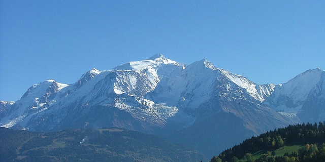
The Swiss hiking route 827 (one of 290 local routes) in the Schwyz Alps is called Gratweg Stoos. It begins on the Klingenstock (also Chlingenstock) in the Swiss canton of Schwyz and leads along the mountain ridge in a westerly direction just below the summit of the Huser Stock (detour possible) past the Fronalpstock.
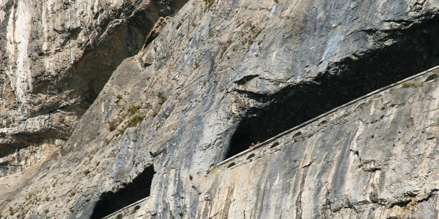
The starting point (1926 m above sea level, near summit cross 1935 m above sea level) can be reached by chairlift from Brunnerboden (southeast of Stoos); from the finish (1907m above sea level) you can get to Stoos with two chairlift sections. The distance is four kilometers, there are 380 meters of ascent and 400 meters of descent to overcome; the hiking time is given as one hour and 50 minutes; with the ascent of the Huser Stock (1904m above sea level) about half an hour lon...Read more
The Swiss hiking route 827 (one of 290 local routes) in the Schwyz Alps is called Gratweg Stoos. It begins on the Klingenstock (also Chlingenstock) in the Swiss canton of Schwyz and leads along the mountain ridge in a westerly direction just below the summit of the Huser Stock (detour possible) past the Fronalpstock.
The starting point (1926 m above sea level, near summit cross 1935 m above sea level) can be reached by chairlift from Brunnerboden (southeast of Stoos); from the finish (1907m above sea level) you can get to Stoos with two chairlift sections. The distance is four kilometers, there are 380 meters of ascent and 400 meters of descent to overcome; the hiking time is given as one hour and 50 minutes; with the ascent of the Huser Stock (1904m above sea level) about half an hour longer.
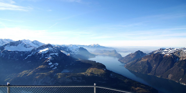
There are several places to rest and always have a view along the way. After passing the Huser Stock - here is a long table with benches to relax - it goes down to the saddle Furggelen (1731 m above sea level< /abbr>) and then up to the Fronalpstock with a summit cross (1921m above sea level), playground, viewing terrace and restaurant (also hotels).


Add new comment