Grimsel Pass
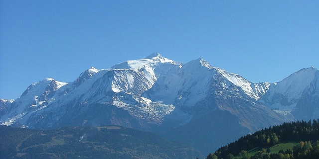
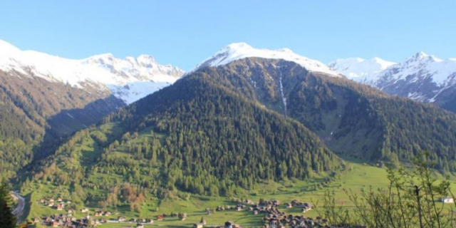
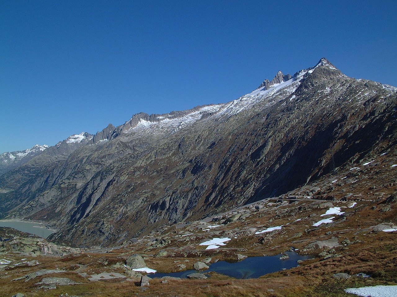
The Grimsel Pass (German: Grimselpass; French: Col du Grimsel; Italian: Passo del Grimsel) is a mountain pass in Switzerland, crossing the Bernese Alps at an elevation of 2,164 metres (7,100 ft). The pass connects the Haslital, the upper valley of the river Aare, with the upper valley of the Rhône. In so doing, and as the Aare is a tributary of the Rhine, the pass crosses the continental divide between the North Sea and the Mediterranean Sea.
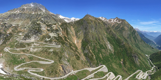
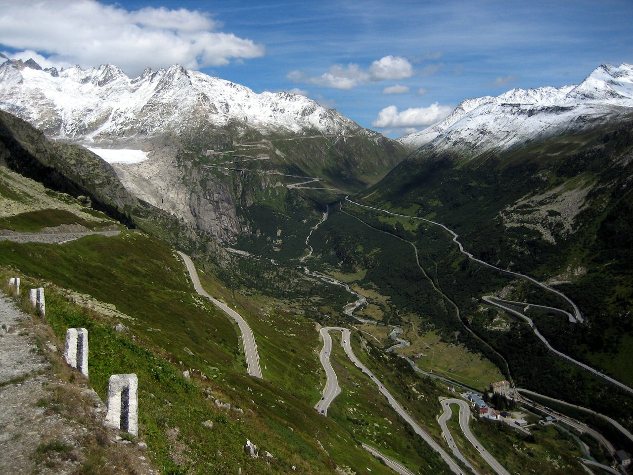
A paved road follows the pass, running 38 kilometres (24 mi) from Gletsch to Meiringen. The road is normally closed between October and May, due to the high snowfall on the pass. As it is the only direct road pass between the cantons of Bern and Valais across the Bernese Alps, attempts are made to keep the road open as long as possible with snow ploughs. A PostBus Switzerland service uses the pass several times a day, connecting Meiringen and Oberwald....Read more
The Grimsel Pass (German: Grimselpass; French: Col du Grimsel; Italian: Passo del Grimsel) is a mountain pass in Switzerland, crossing the Bernese Alps at an elevation of 2,164 metres (7,100 ft). The pass connects the Haslital, the upper valley of the river Aare, with the upper valley of the Rhône. In so doing, and as the Aare is a tributary of the Rhine, the pass crosses the continental divide between the North Sea and the Mediterranean Sea.
A paved road follows the pass, running 38 kilometres (24 mi) from Gletsch to Meiringen. The road is normally closed between October and May, due to the high snowfall on the pass. As it is the only direct road pass between the cantons of Bern and Valais across the Bernese Alps, attempts are made to keep the road open as long as possible with snow ploughs. A PostBus Switzerland service uses the pass several times a day, connecting Meiringen and Oberwald.
The Grimsel Pass road is part of the Aare Route, which is national cycle route 8 of Switzerland. It has been used on several occasions by the Tour de Suisse.
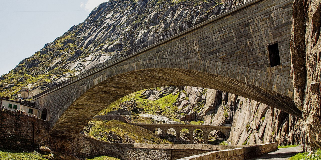
The first fully documented use of the Grimsel Pass dates back to the 14th century, although it has been suggested that the pass was used in Roman times and also, in 1211, by troops of Berthold V, Duke of Zähringen. In 1397, the Landschaften of Pomat, Goms and Hasli, and the cities of Interlaken, Thun and Bern, signed an agreement in which it was agreed to provide for free and secure trade by the mule track over the Grimsel.[1] In 1400, the hospice on the pass is mentioned for the first time.[2]
The Grimsel Pass formed, along with the Nufenen and Gries passes, a regional trade route between the Haslital and Domodossola and the Lombardy plain. Cheese and cattle were sent south, whilst wine, rice, corn and olive oil came north. This trade continued until the opening of the Gotthard railway in 1882.[1]
The track over the pass was not upgraded to a paved road until 1894. Between the 1920s and the 1950s, several hydro-electric power plants were constructed in the area around the pass by Kraftwerke Oberhasli (KWO), which resulted in the expansion and diversion of the pass road. The KWO now promotes the pass and surrounding area as a visitor attraction, as part of its Grimselwelt tourism brand.[1][3]


 - CC BY 2.5")


![[node:title]](/sites/default/files/styles/640x320/public/default_images/default_0.JPG?itok=nAKl_DR1)


Add new comment