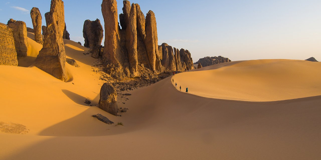
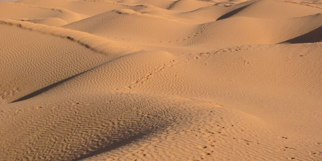
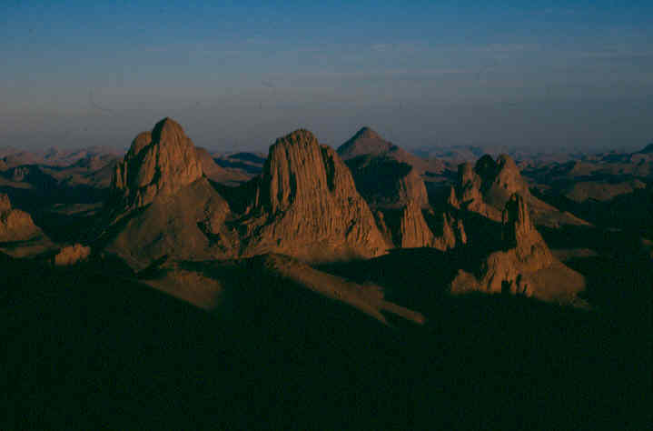
The Hoggar Mountains (Arabic: جبال هقار, Berber: idurar n Ahaggar) are a highland region in the central Sahara in southern Algeria, along the Tropic of Cancer. The mountains cover an area of approximately 550,000 km².
The Hoggar Mountains are home to the Ahaggar National Park, one of the national parks of the country. The tallest peak in the range and Algeria, Mount Tahat, is located in the park area, which covers approximately 450,000 square kilometres (170,000 sq mi).
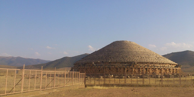
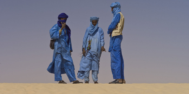
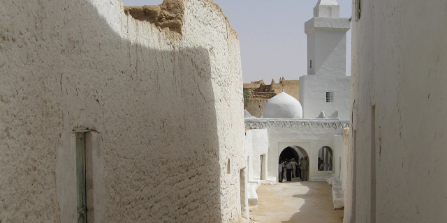
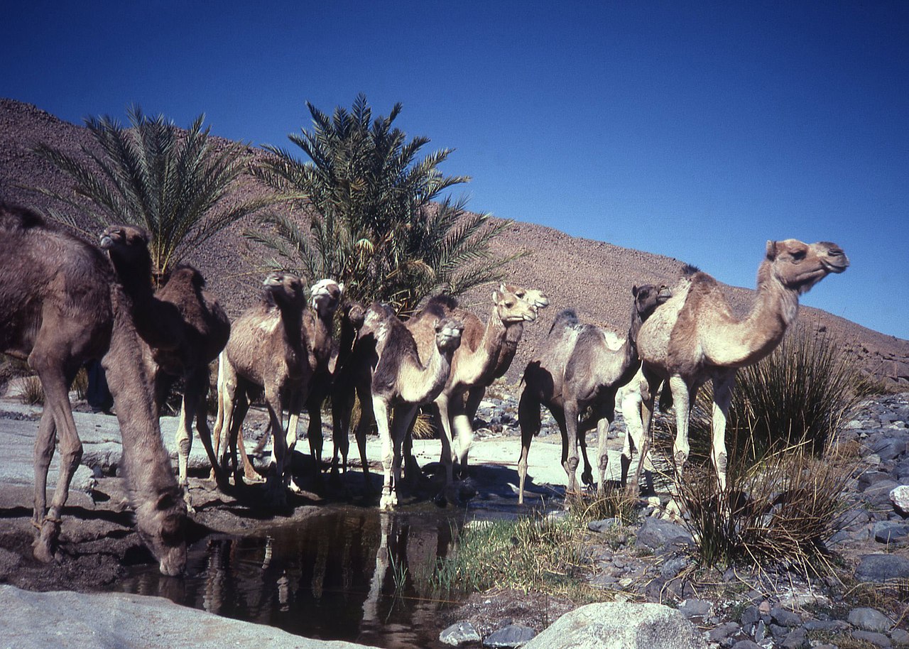
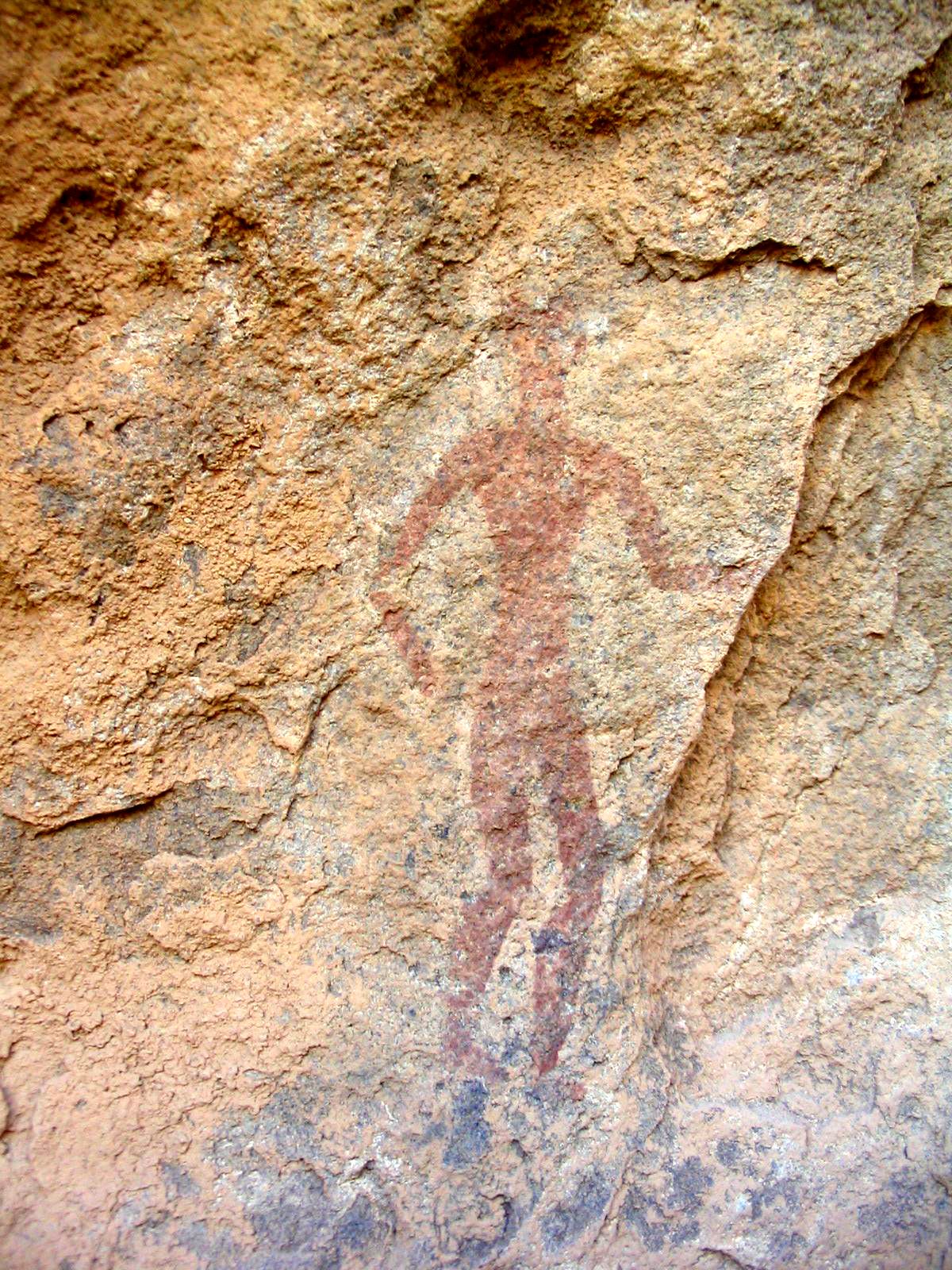
Prehistoric settlement is evident from extant rock paintings dating to 6000 BC.[1] The Hoggar Massif is the land of the Kel Ahaggar Tuareg.[2] The tomb of Tin Hinan, the woman believed to be the matriarch of the Tuareg, is located at Abalessa, an oasis near Tamanrasset.
The hermitage of Charles de Foucauld, which continues to be inhabited by a few Catholic monks, is at the top of the Assekrem plateau in the Hoggar Mountains.[3]
Underground atomic tests were conducted by France in the mountains in the 1960s.


 - CC BY-SA 3.0")

Add new comment