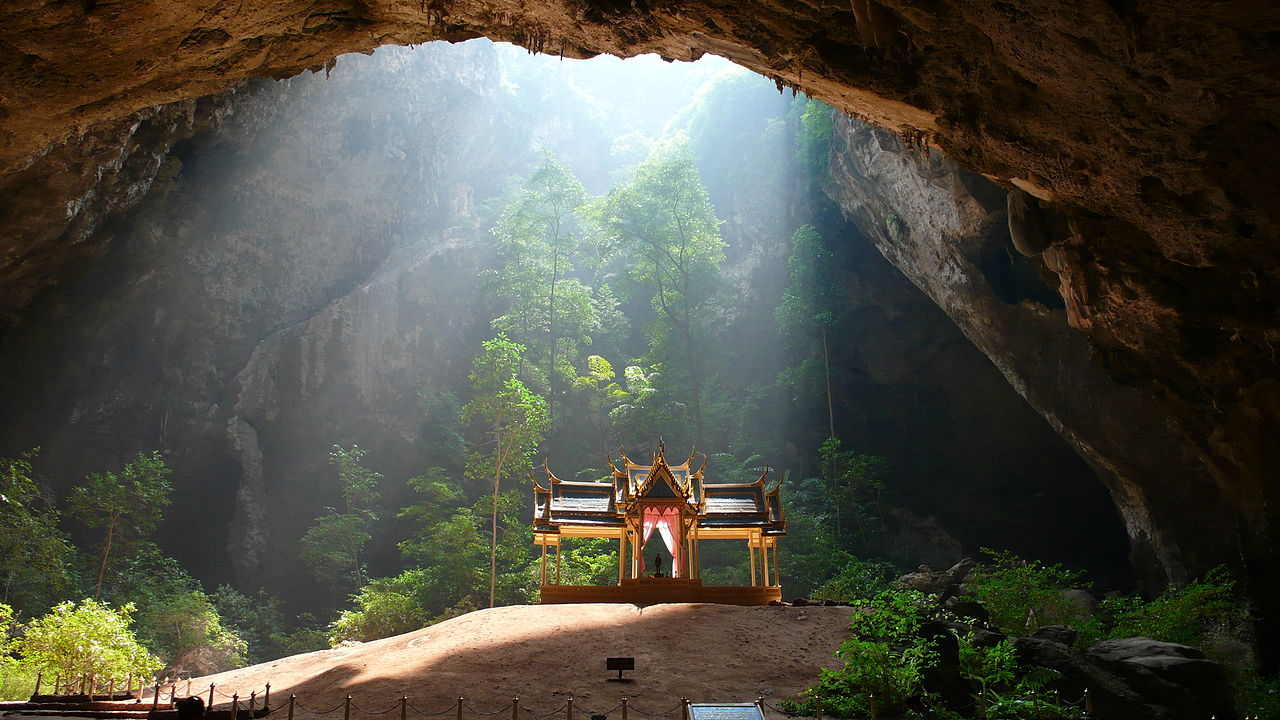
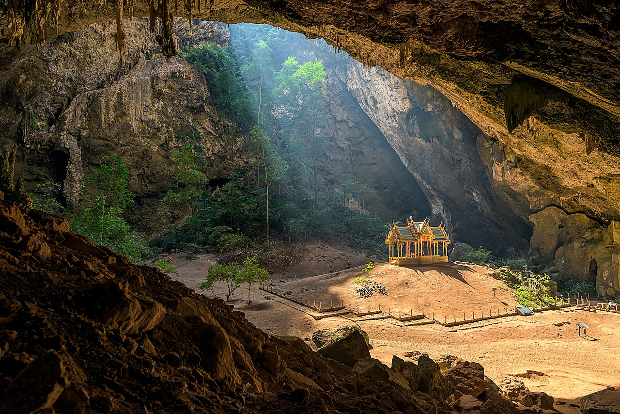
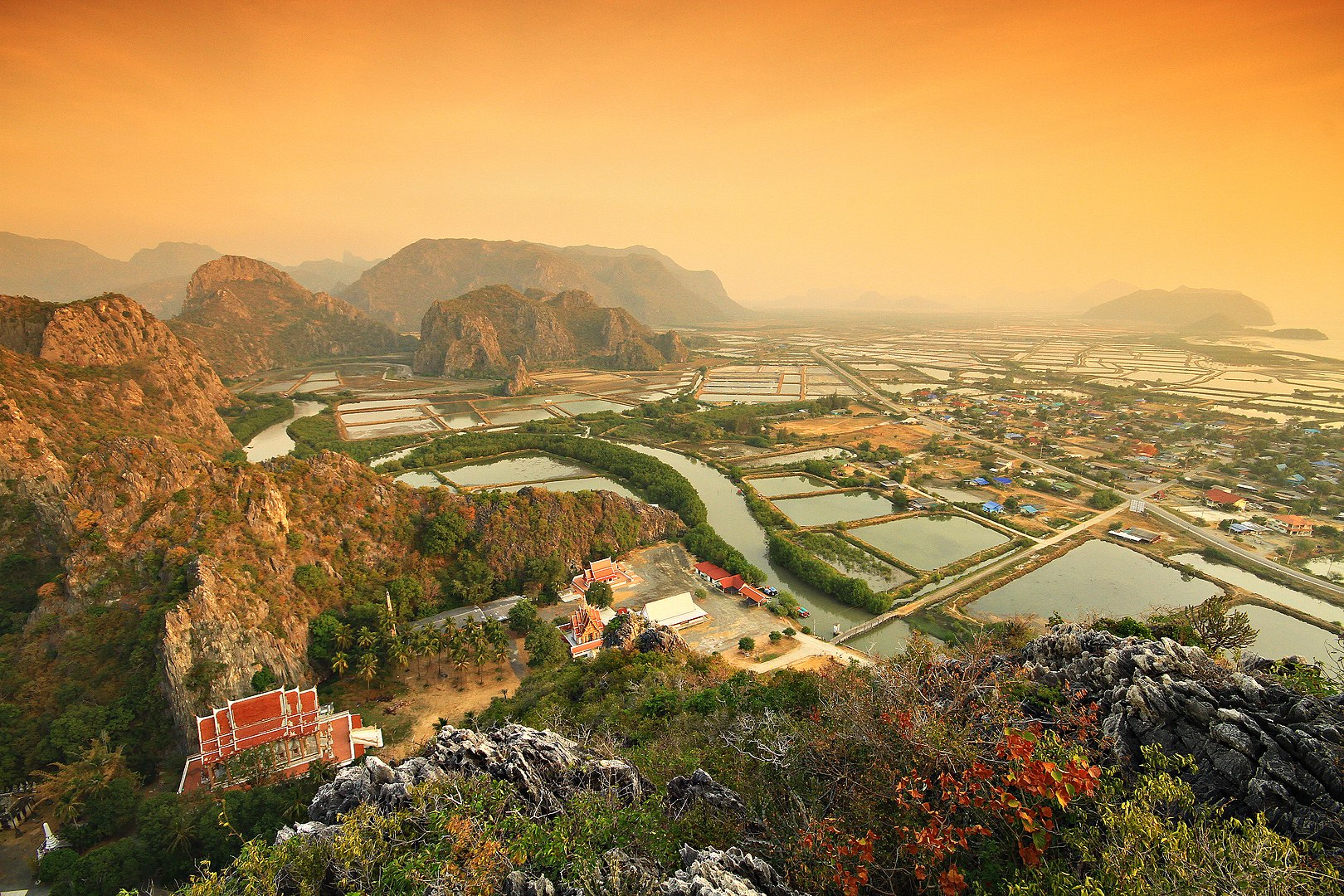
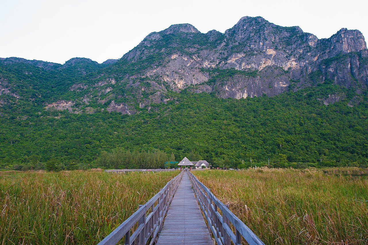
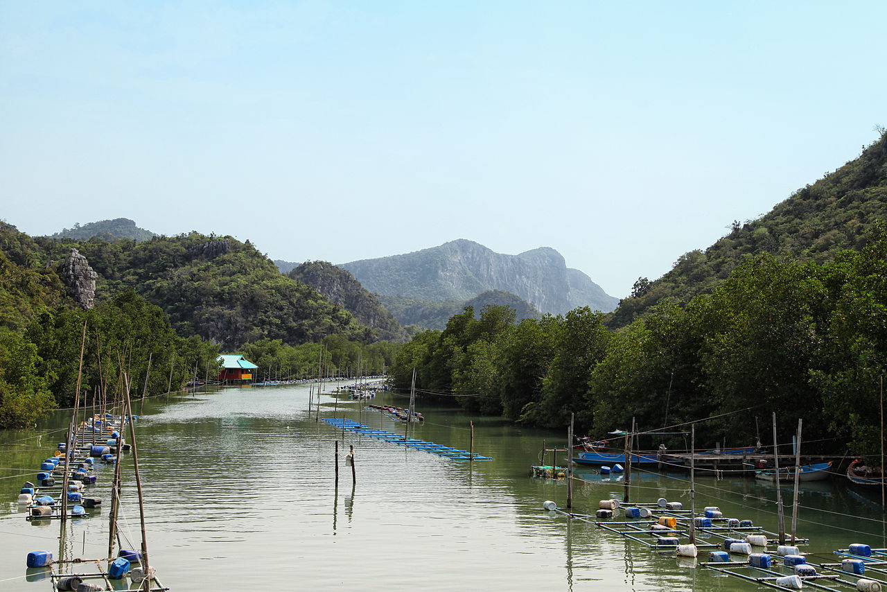
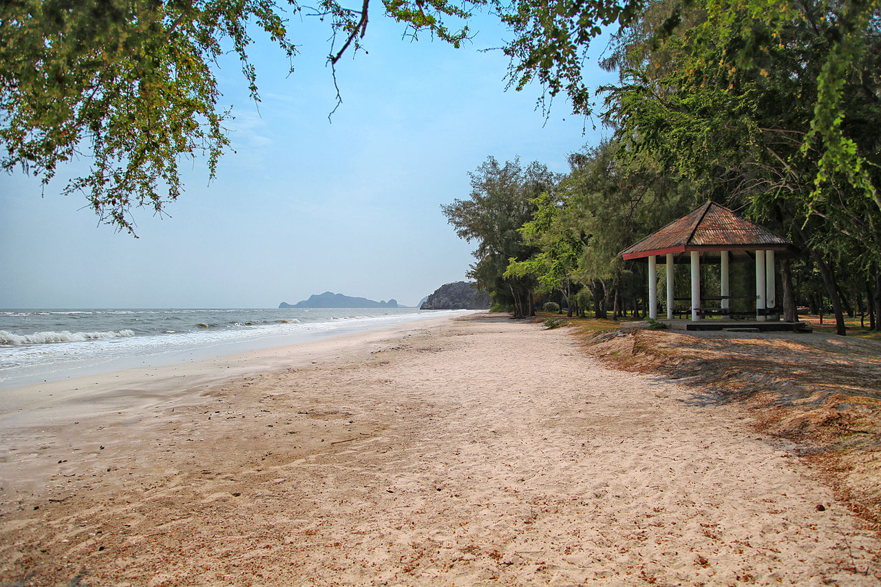
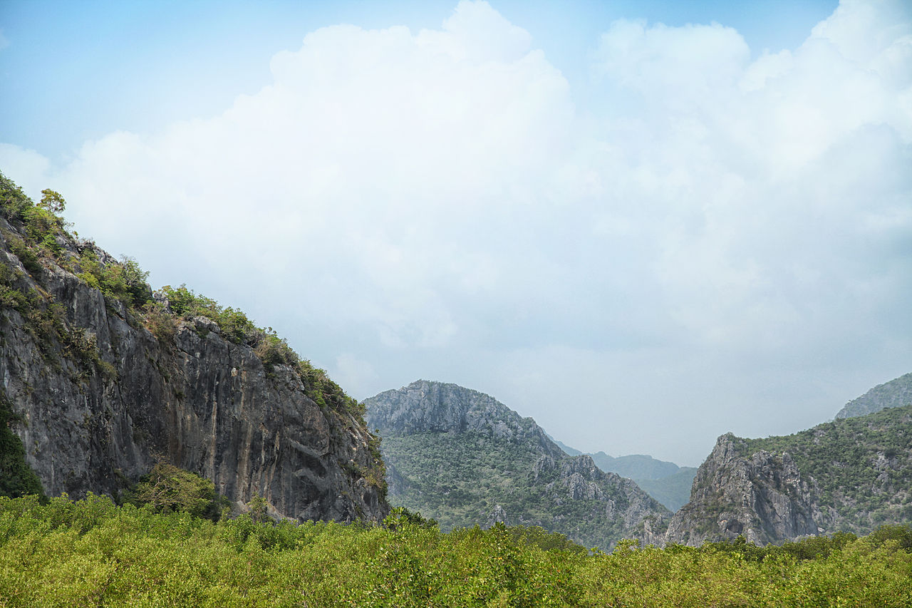
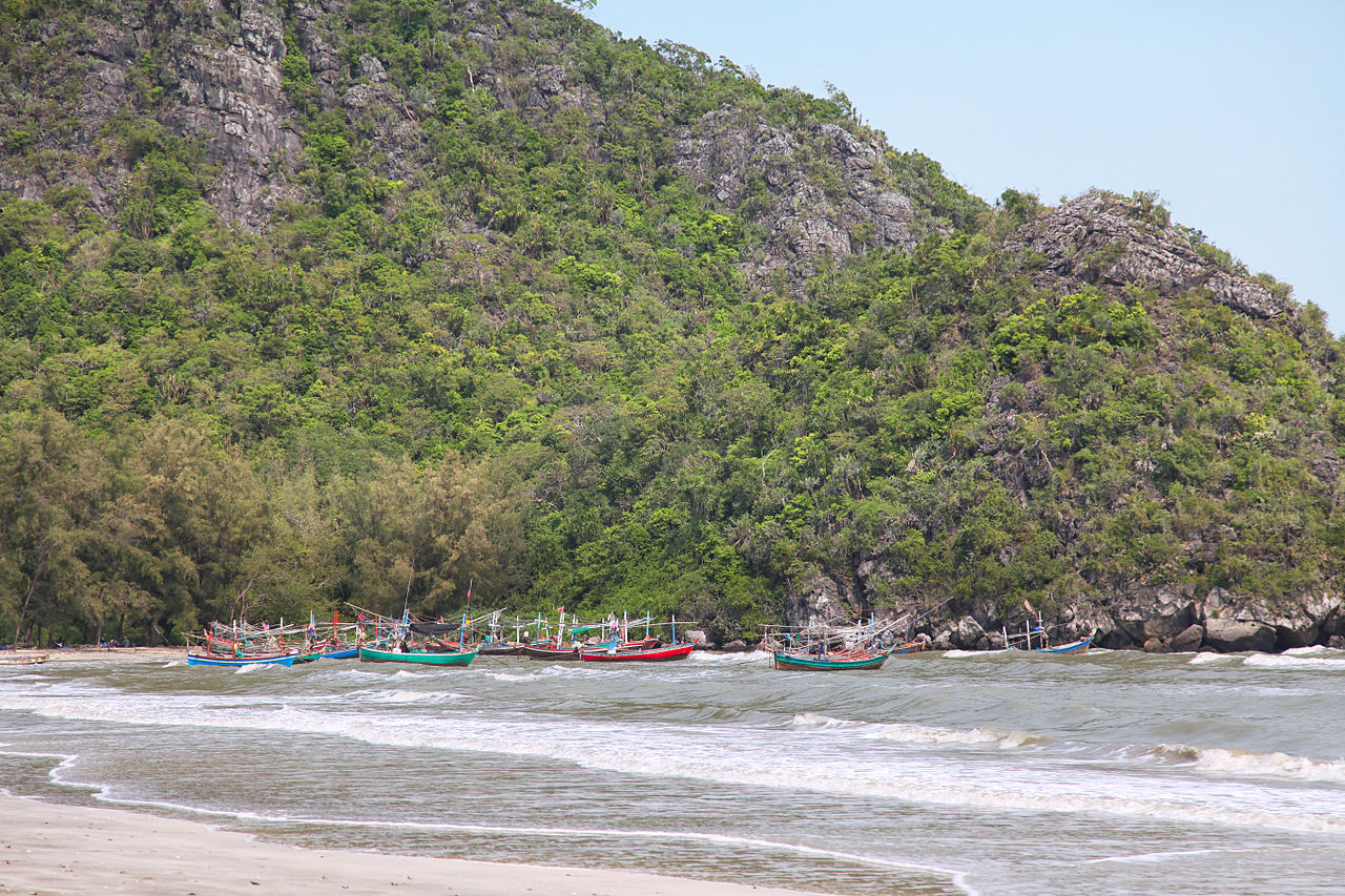
อุทยานแห่งชาติเขาสามร้อยยอด
( Khao Sam Roi Yot National Park )Khao Sam Roi Yot National Park (Thai: อุทยานแห่งชาติเขาสามร้อยยอด, RTGS: Utthayan Haeng Chat Khao Sam Roi Yot, pronounced [ʔùt.tʰā.jāːn hɛ̀ŋ t͡ɕʰâːt kʰǎw sǎːm rɔ́ːj jɔ̂ːt]) is a marine national park in Kui Buri District, Prachuap Khiri Khan Province, Thailand. It covers 61,300 rai ~ 98 square kilometres (38 sq mi) of which 13,050 rai ~ 21 square kilometres (8.1 sq mi) are marine areas. The park was established in 1966, and was the first coastal national park of Thailand. The park includes Thailand's largest freshwater marsh.
Khao Sam Roi Yot was probably where King Mongkut hosted European guests on 18 August 1868 to observe a total solar eclipse. The king was interested in astronomy and had calculated the date and location of the eclipse himself. His calculations proved better—by about two seconds—than those of French astronomers, who acknowledged his accuracy. He contracted malaria, possibly during that event, and died on 1 October.
The national park was created on 28 June 1966,[1] with an original area of 38,300 rai ~ 61 square kilometres (24 sq mi). It was enlarged with 23,000 rai ~ 37 square kilometres (14 sq mi)[2] on 1 April 1982.[3]
ArchaeologyThe discovery of 3,000 years old cave paintings was announced by archaeologists from the Fine Arts Office in May in 2020. Some of the depicted pictures are still visible and clear, while some paintings were damaged by limestone etching. According to archeologist Kannika Premjai, paintings describe humanlike figures with accessories on their bodies, hunting scenes with bow and arrow. Moreover, there is also an animal figure seems to be serow (a goat-like mammal found regionally) found among the drawings.[4] In October 2020, more rock art was discovered in unmapped caves in Sam Roi Yot National Park, dating back to between 2,000 to 3,000 years ago.[5]


 (Antoine FLEURY-GOBERT) - CC BY-SA 3.0")


Add new comment