Lake Tekapo (town)
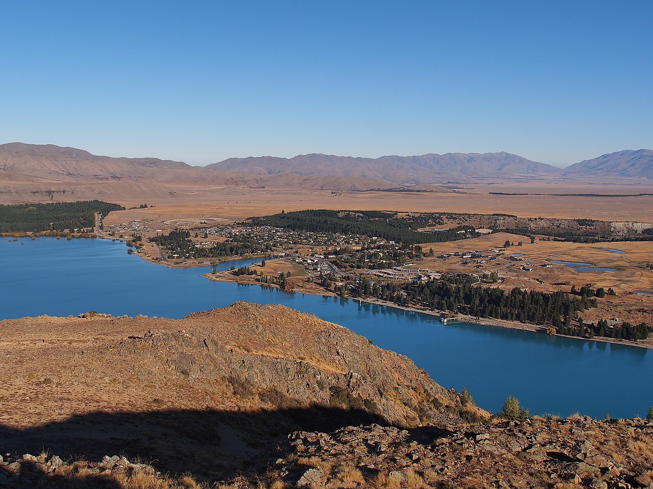
Lake Tekapo (often known simply as Tekapo (Māori: Takapō) to avoid confusion with the lake itself) is a small township located at the southern end of the lake of the same name in the inland South Island of New Zealand. It had 558 residents according to the 2018 census, being one of five settlements in the sparsely populated Mackenzie Basin.
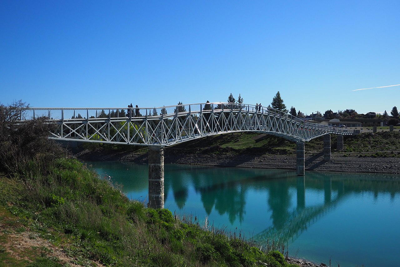
State Highway 8 runs directly through the township – 227 kilometres (141 mi) from Christchurch and 256 kilometres (159 mi) from Queenstown. Daily shuttle services link Lake Tekapo to Christchurch and Queenstown. The lake is a popular tourist destination, and several resort hotels are located at the township. Lake Tekapo Airport is located 5 kilometres (3.1 mi) west of the town where local tourism operator Air Safaris is based. Twizel lies 60 km (39 minutes drive) south of Lake Tekapo via Lake Pukaki and Burkes Pass lies 21 km (15 minutes drive) west along State Highway 8.
The Māori were the first people to discover the Mackenzie Basin. The name Tekapo, a misspelling of Takapō, derived from the te reo Māori words taka (sleeping mat) and pō (night). Takapō means "To leave in haste at night".[1]
The Mackenzie Basin became known to Europeans in 1855 when, in order to find a less conspicuous route, James Mackenzie, a Scottish sheep thief, ventured inland and discovered the high country that now bears his name. In 1857, John and Barbara Hay established the first sheep farm in Mackenzie on the shore of Lake Tekapo.[2]
Lake Tekapo township started to grow after the construction of hydropower stations in the 1940s. Prior to this, the town consisted of "two station homesteads, a private hotel, and several holiday cottages".[3] The project was delayed due to World War II, but it was eventually completed and commissioned in 1951.[2] The control gates built across the outlet of Lake Tekapo regulate the amount of water entering the Tekapo River. These were completed in 1940. State Highway 8 runs across the top of them.[4]
After the completion of the hydroelectric scheme, the town of Lake Tekapo returned to being a small town. Visitor numbers increased in the 1960s with skiers and ice skaters visiting in winter months.[3] The population declined in the 1980s to a total of 189 residents in 1991. The population increased in the 1990s with the population reaching 294 residents in 1996.[3]
Tekapo is expected to grow significantly between 2020 and 2050. The MacKenzie District Council expects the district’s population will jump from 4950 to 9050, dwellings 3872 to 6120, jobs 1876 to 4618, and peak day visitors 17,378 to 61,253.[5]
The MacKenzie District Council announced in 2021 that it will start using the dual names of Tekapo and Takapō when referring to Lake Tekapo (Tekapo is an incorrect spelling of Takapō, the Māori name for Lake Tekapo).[6]


Add new comment