Nahant, Massachusetts
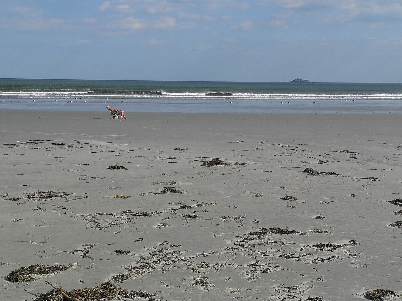
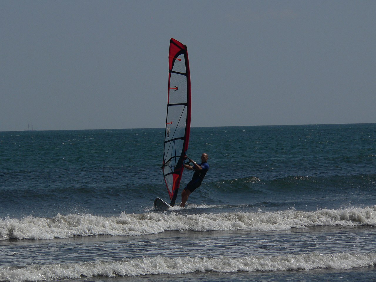
Nahant () is a town in Essex County, Massachusetts, United States. The population was 3,334 at the 2020 census, which makes it the smallest municipality by population in Essex County. With just 1.0 square mile (2.7 km2) of land area, it is also the smallest municipality by area in the state. It is primarily a residential community. The town is situated on peninsula consisting of two near-islands (known as "Little Nahant" and "Big Nahant" respectively) connected to the mainland by a narrow sandy isthmus traversed by a single causeway known as "Nahant Road". Numerous tourist beaches line the shores, with the most popular being the so-called "Long Beach" and "Short Beach" along the eastern side of the causeway.
The area around Nahant was inhabited for thousands of years prior to European colonization of the Americas, but little is known of this period until European records began to document the area in the early 1600s. At that time, the seat of "Sagamore James" of the Naumkeag, known in his own tongue as Montowampate, was at the outlet of the Saugus River overlooking Nahant,[1] though the island itself may have been controlled by a sachem Poquanum, known to English settlers as Blacke William[2] or Duke William, who around 1632 gave permission to Thomas Dexter to use the island in exchange for an English suit.[3] The word Nahant may mean "at the point," or "twin islands," or it may refer to an important local person named Nahantum.[4]
The peninsula was first settled by English colonists in 1630, in the second year of the Puritan coming: the servants of Isaac Johnson grazed his cattle on the land, and it was also often used by citizens of Lynn for grazing cattle, sheep and goats. Although not a separate town until 1853, Nahant was listed as one of thirty "noted Habitations" in New England by William Wood in 1633,[5] and Nahant Poynt appears labeled on a map of the Massachusetts coastline from 1639.[1]
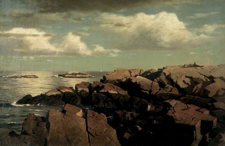
Before 1800 there were only three homes on the island: those built by the Breeds and the Hoods, and the Johnson home built by Jeremiah Gray. The first hotel was built by one of the Johnsons 1802, and in 1817 a steamboat ran daily between Boston and Nahant. The town was originally part of Lynn; when the temperance movement threatened the summer resort trade in 1853, Nahant incorporated as a separate town. In the late 19th century, it was home to some of the country's first amusement parks, as well as a popular summer retreat for the wealthy, including the poet Henry Wadsworth Longfellow. The geologist Louis Agassiz was a resident and the artist William Stanley Haseltine produced many versions of his oil painting 'The Rocks at Nahant'.[6] During World War II, East Point was the site of a coastal artillery battery. It is now a town park, and location of the Marine Science Center for Northeastern University.
Development Calantha Sears Gazebo
The old Nahant Life-Saving Station (NLSS) on Nahant Road and the new War Memorial erected across the street from the NLSS were renovated in 2004.
In 2003, the dilapidated Valley Road School was refurbished and re-commissioned as the Nahant Community Center, which is now home to many local activities and banquets, including the local Boy Scout Troop 50.
On September 25, 2005, the Town of Nahant officially commemorated the completely rebuilt Bailey's Hill Gazebo as the Calantha Sears Gazebo. The original was built for the bicentennial in 1976, and over the years had fallen into disrepair. With funding from the Woman's Club of Nahant and collaboration with the town of Nahant, local residents contributed to its reconstruction. Besides the cement base, the only remaining piece of the original is the wooden cylinder in the center of the roof, which still bears the "1976" emblem—repainted by Nahant local Octavia Randolph.


 - CC BY-SA 3.0")


Add new comment