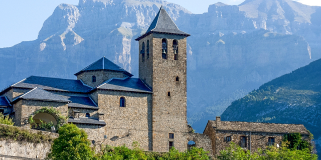
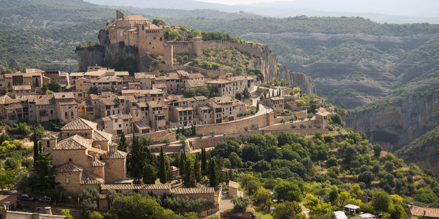
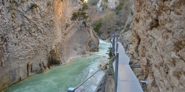
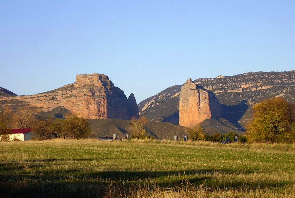
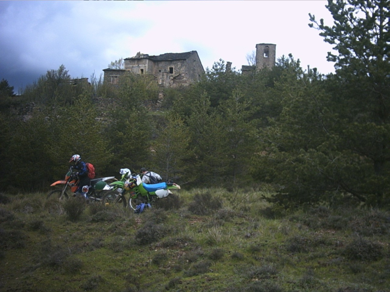
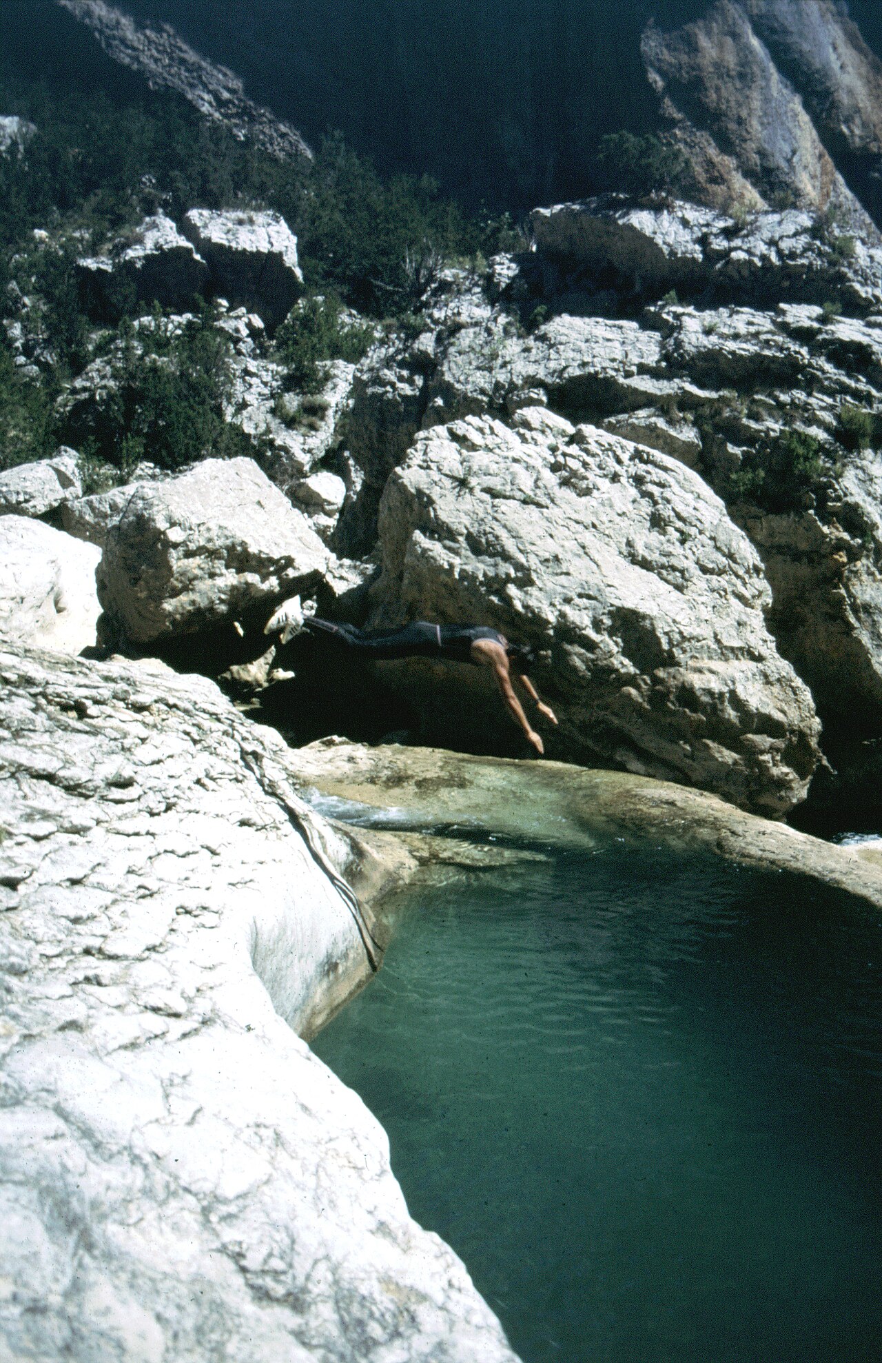
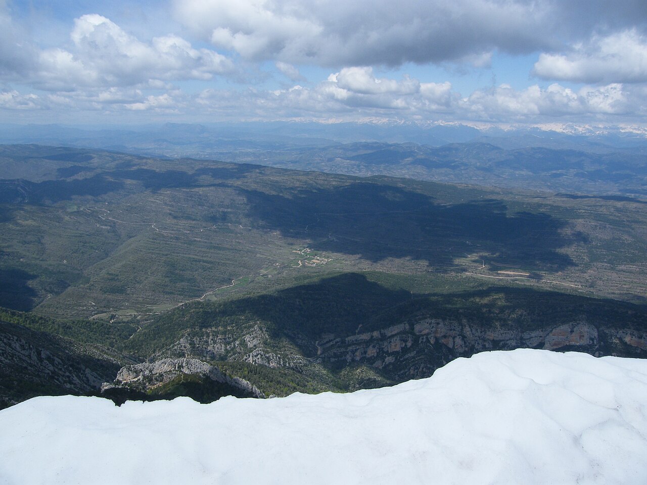
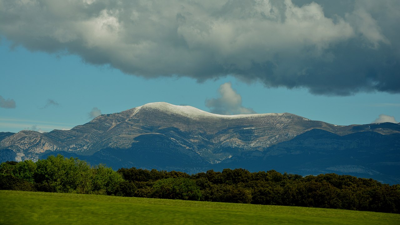
The Sierra de Guara is a mountain massif in the province of Huesca, the most northerly province in the autonomous community of Aragon, Spain. Its highest point is Tozal de Guara (2,077 m).
It lies around 25 km northeast of the city of Huesca itself. Much of the massif is now included within the Sierra y Cañones de Guara Natural Park which extends 43 km from west to east and 25 km north to south. The Park includes, in addition to the Sierra de Guara itself, much of the Sierra de Gabardiella in the west and the Sierra de Arangol, Sierra de Balced, Sierra de Sebil and Sierra de Rufás in the east.
Photographies by:
Jvelillagil - CC BY-SA 3.0
Jvelillagil - CC BY-SA 3.0
Bert Heymans - CC BY 2.0
Zones


Statistics: Position
7489
Statistics: Rank
7147


![[node:title]](/sites/default/files/styles/640x320/public/default_images/default_0.JPG?itok=nAKl_DR1)


Add new comment