Skukuza (formerly Reserve, Sabi Bridge and Sikhukhuza), a town in Mpumalanga located 57 km east of Hazyview at the confluence of the N'waswitshaka and Sabie Rivers, is the administrative headquarters of the Kruger National Park.
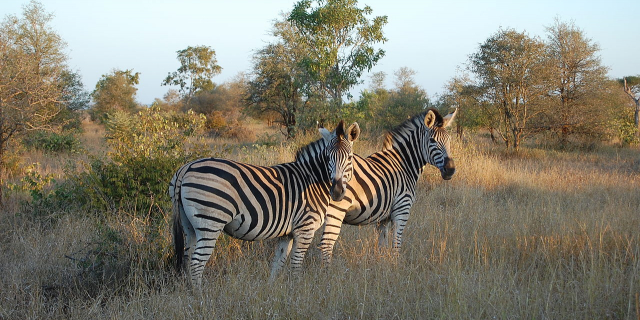
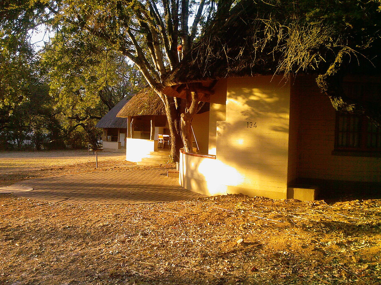
It is also the largest rest camp of the park. It is South Africa's number one game viewing destination and is the most popular game reserve in the country. It is popular with domestic and foreign tourists alike, as the big five game are in relative abundance when compared to other game reserves in the country. A tourist in Skukuza may not have to go out looking for Africa's big five, as these animals could potentially be observed from the deck of the Cattle Baron restaurant. Lions, leopards, and cheetahs regularly kill their prey on the green lawns of Skukuza's golf course or cricket club. The game reserve is situated in a medium rainfall are...Read more
Skukuza (formerly Reserve, Sabi Bridge and Sikhukhuza), a town in Mpumalanga located 57 km east of Hazyview at the confluence of the N'waswitshaka and Sabie Rivers, is the administrative headquarters of the Kruger National Park.
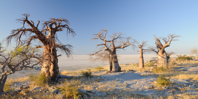
It is also the largest rest camp of the park. It is South Africa's number one game viewing destination and is the most popular game reserve in the country. It is popular with domestic and foreign tourists alike, as the big five game are in relative abundance when compared to other game reserves in the country. A tourist in Skukuza may not have to go out looking for Africa's big five, as these animals could potentially be observed from the deck of the Cattle Baron restaurant. Lions, leopards, and cheetahs regularly kill their prey on the green lawns of Skukuza's golf course or cricket club. The game reserve is situated in a medium rainfall area (770 mm of rainfall per year), on the well-wooded banks of the Sabie and N'waswitshaka rivers of Mpumalanga Province.
Before the park was established, the area was home to a few resident tribes and others who were recently employed to build the railway line. The Ngomane clan and assimilated Sambo people lived in the vicinity of present-day Skukuza.[1] The Ngomane clan, formerly subjects of Soshangane, joined forces with the Sambo people and took refuge near the Sabie River after a defeat by Sotho people near Makhulukhulu mountain on the escarpment. Chief Ngomane's people lived near Skukuza until 1905, when the Transvaal Government relocated them to Tenbosch south of the park, where they were displaced again in 1945. Other inhabitants were resettled in villages around Hazyview, such as Hoxani, Cunningmore, Mkhuhlu and the greater Hazyview area.[citation needed] The resident peoples of the area hunted animals with bows and arrows as well as snares, and eventually rifles obtained from the white men. They used the Sabie River for fishing. Before relocations, Tsonga people occupied the region east of Hazyview, where the majority of private game reserves in Mpumalanga are situated today.[2]
When the government decided to establish a national park during the late 1800s and early 1900s, they sent James Stevenson-Hamilton as the only government official. British troops still occupied the area that today forms the southern part of the park after the Second Boer War. In particular, one of the locations of a British forward position was at the Sabie River in an old block house. After the troops were disbanded, Stevenson-Hamilton decided to make this location his base of operations.[3] The government moved the Tsonga people to villages on the outskirts of Hazyview.
The name "Skukuza" was given to James Stevenson-Hamilton by his staff, the local Tsonga people, as a nickname. It could be translated as 'to sweep', since Stevenson-Hamilton was perceived to sweep the land clean of poachers and other criminals operating in the area. But according to Dr H. A. Junod, an expert in Tsonga history, the name Skukuza reflects the Tsonga people's attitude and resentment towards forced removal from their beautiful and fertile land.
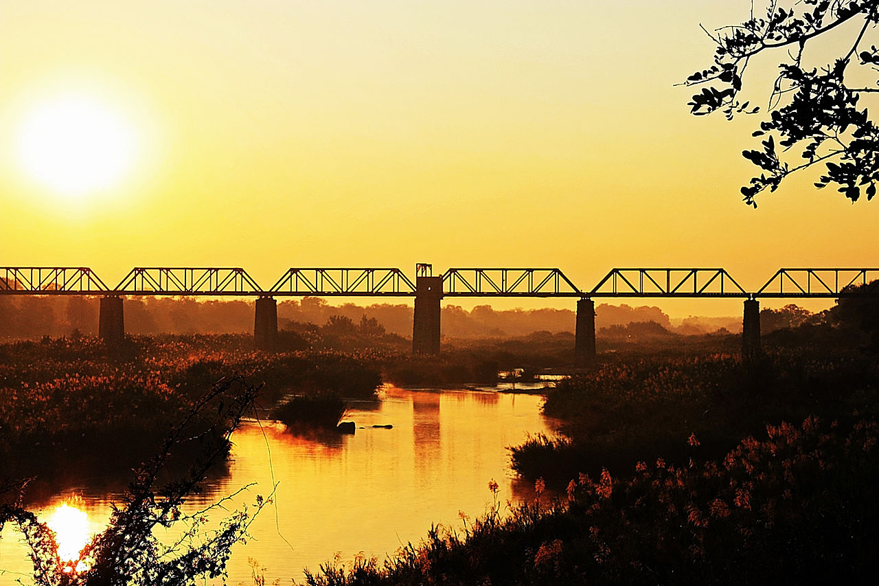
After the Kruger National Park was declared in 1926, the presence of the Selati Railway, which connected Komatipoort to Tzaneen, was considered a potential disruption for the animals. As such, the railway was dismantled. The old bridge across the Sabie River can still be seen from Skukuza.[4]


Add new comment