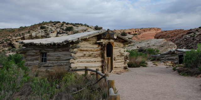
White Rim Road
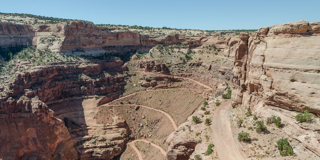
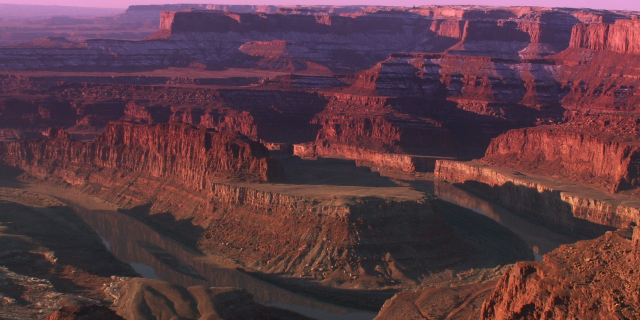
The White Rim Road is a 71.2-mile-long (114.6 km) unpaved four-wheel drive road that traverses the top of the White Rim Sandstone formation below the Island in the Sky mesa of Canyonlands National Park in southern Utah in the United States. The road was constructed in the 1950s by the Atomic Energy Commission to provide access for individual prospectors intent on mining uranium deposits for use in nuclear weapons production during the Cold War. Large deposits had been found in similar areas within the region; however, the mines along the White Rim Road produced very little uranium and all the mines were abandoned.
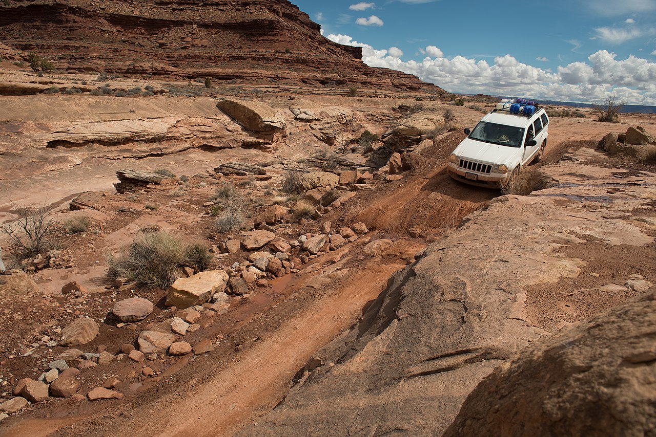
The road surface consists of loose dirt, sandy dry washes and sandstone rock formations. Four-wheel drive vehicles and mountain bikes are the most common modes of transport though horseback riding and hiking are also permitted. Typical excursions at a modest pace take two days by four-wheel drive vehicle and three days by mountain bike. Street-legal,...Read more
The White Rim Road is a 71.2-mile-long (114.6 km) unpaved four-wheel drive road that traverses the top of the White Rim Sandstone formation below the Island in the Sky mesa of Canyonlands National Park in southern Utah in the United States. The road was constructed in the 1950s by the Atomic Energy Commission to provide access for individual prospectors intent on mining uranium deposits for use in nuclear weapons production during the Cold War. Large deposits had been found in similar areas within the region; however, the mines along the White Rim Road produced very little uranium and all the mines were abandoned.
The road surface consists of loose dirt, sandy dry washes and sandstone rock formations. Four-wheel drive vehicles and mountain bikes are the most common modes of transport though horseback riding and hiking are also permitted. Typical excursions at a modest pace take two days by four-wheel drive vehicle and three days by mountain bike. Street-legal, registered motorbikes are also permitted to travel on the road. The National Park Service (NPS), which administers the park and maintains the road, recommends bicyclists have a motorized support vehicle to carry extra water. No potable water is available anywhere along the road and there are few river access points. The Green River is accessible at spots along the western end of the road but Lathrop Canyon is the only access point to the Colorado River near the eastern terminus. Hikers may access the White Rim from the Island in the Sky by hiking down steep trails leading to seven points along the road.
Roads leading to the White Rim Road are Mineral Bottom Road, also called Horsethief Trail, in the park's west side and Shafer Trail in the park's east side. Both roads are junctions off the Island in the Sky park road, which is an extension of Utah State Route 313. A shorter alternate from Moab is Potash Road—Utah State Route 279—in the east side of the park which connects at the junction of White Rim Road with Shafer Trail.
Like the Shafer Trail, White Rim Road is also sometimes referred to as a trail since a common term for a four-wheel drive road is a Jeep trail.


Add new comment