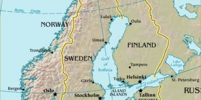
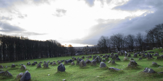
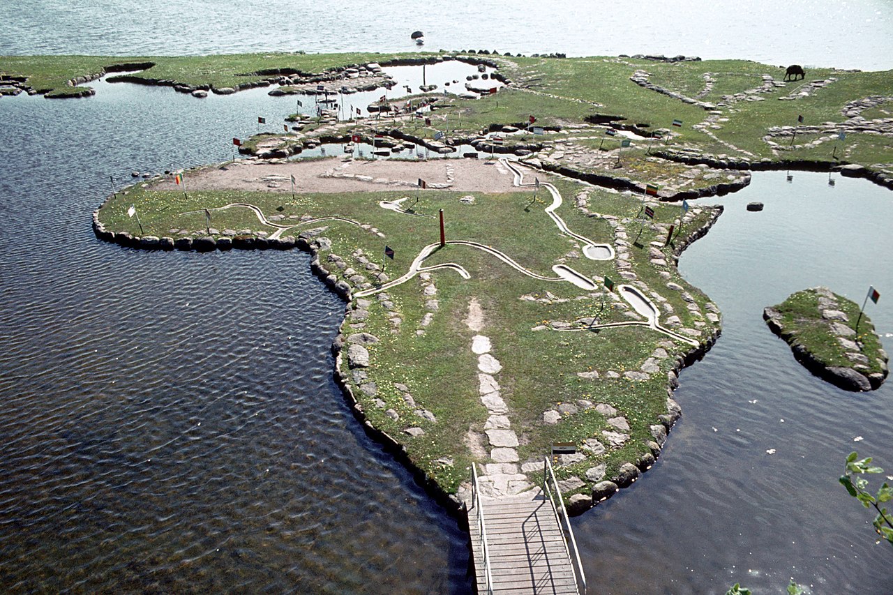
Ο Παγκόσμιος χάρτης στη λίμνη Klejtrup (Δανικά: Verdenskortet ved Klejtrup Sø) είναι ένας μικροσκοπικός παγκόσμιος χάρτης χτισμένος από πέτρες και γρασίδι στο Klejtrup Sø κοντά το χωριό Klejtrup, δήμος Viborg, Δανία.
Ο Παγκόσμιος χάρτης στη λίμνη Klejtrup (Δανικά: Verdenskortet ved Klejtrup Sø) είναι ένας μικροσκοπικός παγκόσμιος χάρτης χτισμένος από πέτρες και γρασίδι στο Klejtrup Sø κοντά το χωριό Klejtrup, δήμος Viborg, Δανία.
 12:19, 28 July 2009 (UTC) - CC BY-SA 3.0")


. - CC BY-SA 3.0")


![[node:title]](/sites/default/files/styles/640x320/public/default_images/default_0.JPG?itok=nAKl_DR1)


Προσθήκη νέου σχολίου