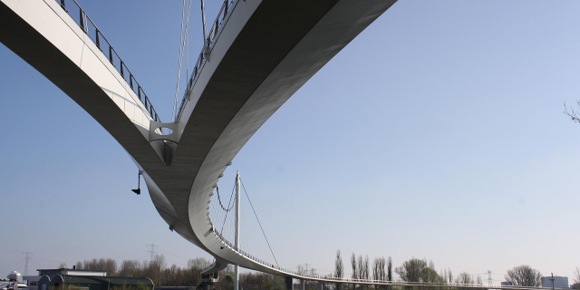
Amsterdamse grachten
( Canals of Amsterdam )
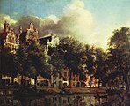
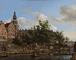
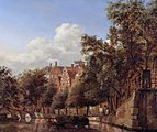
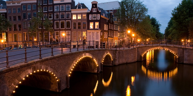
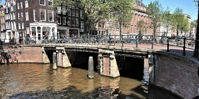
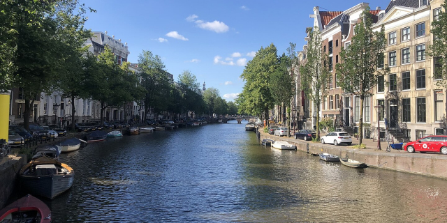
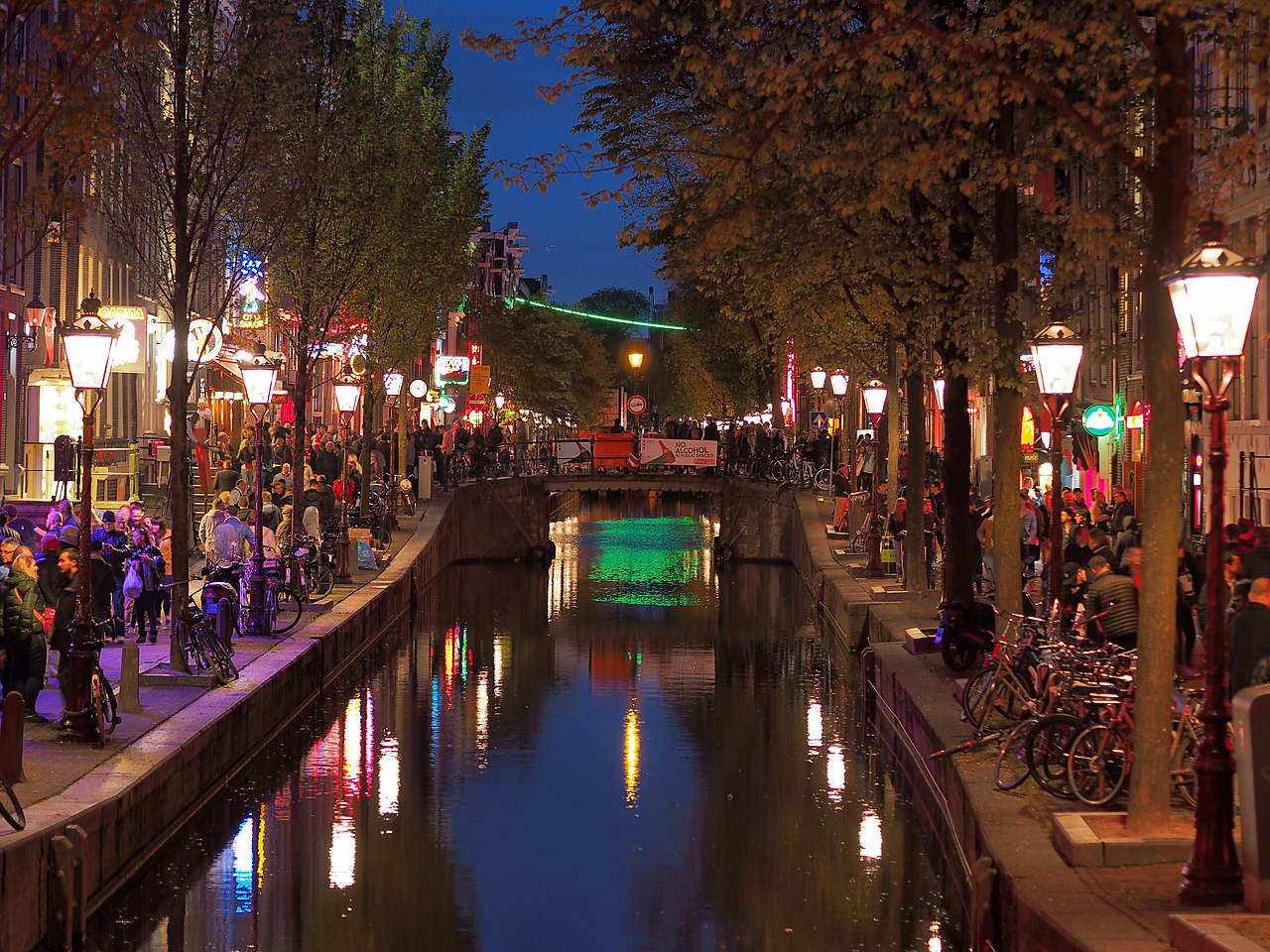
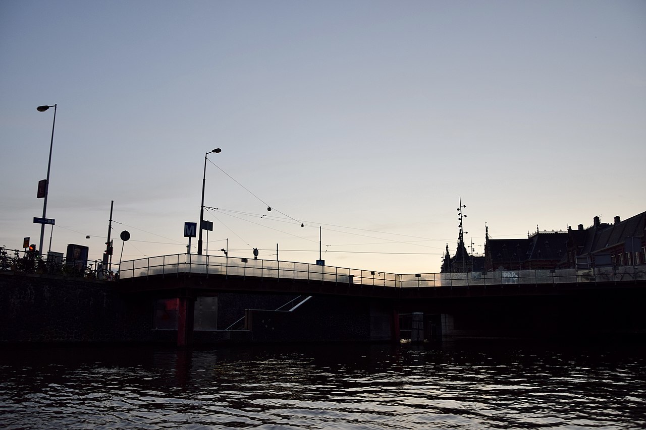
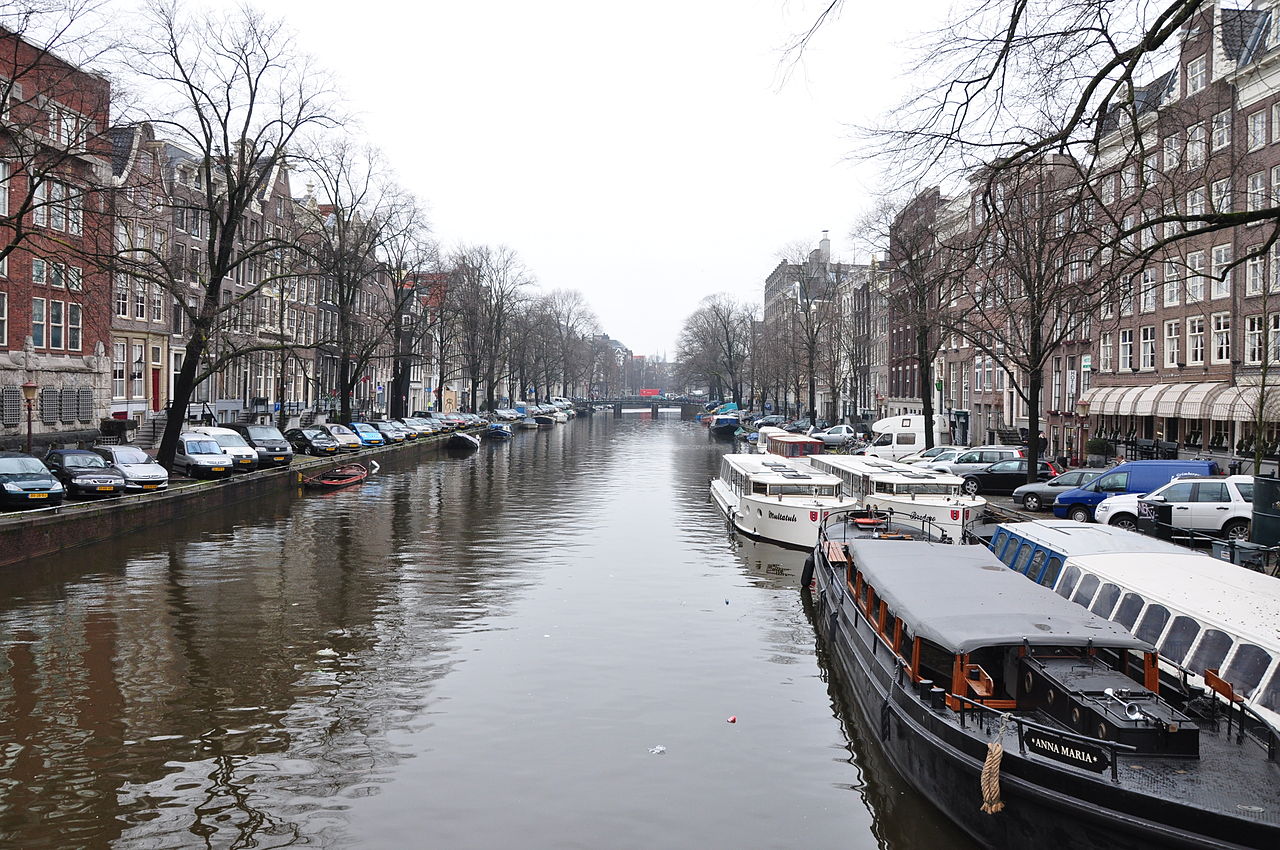
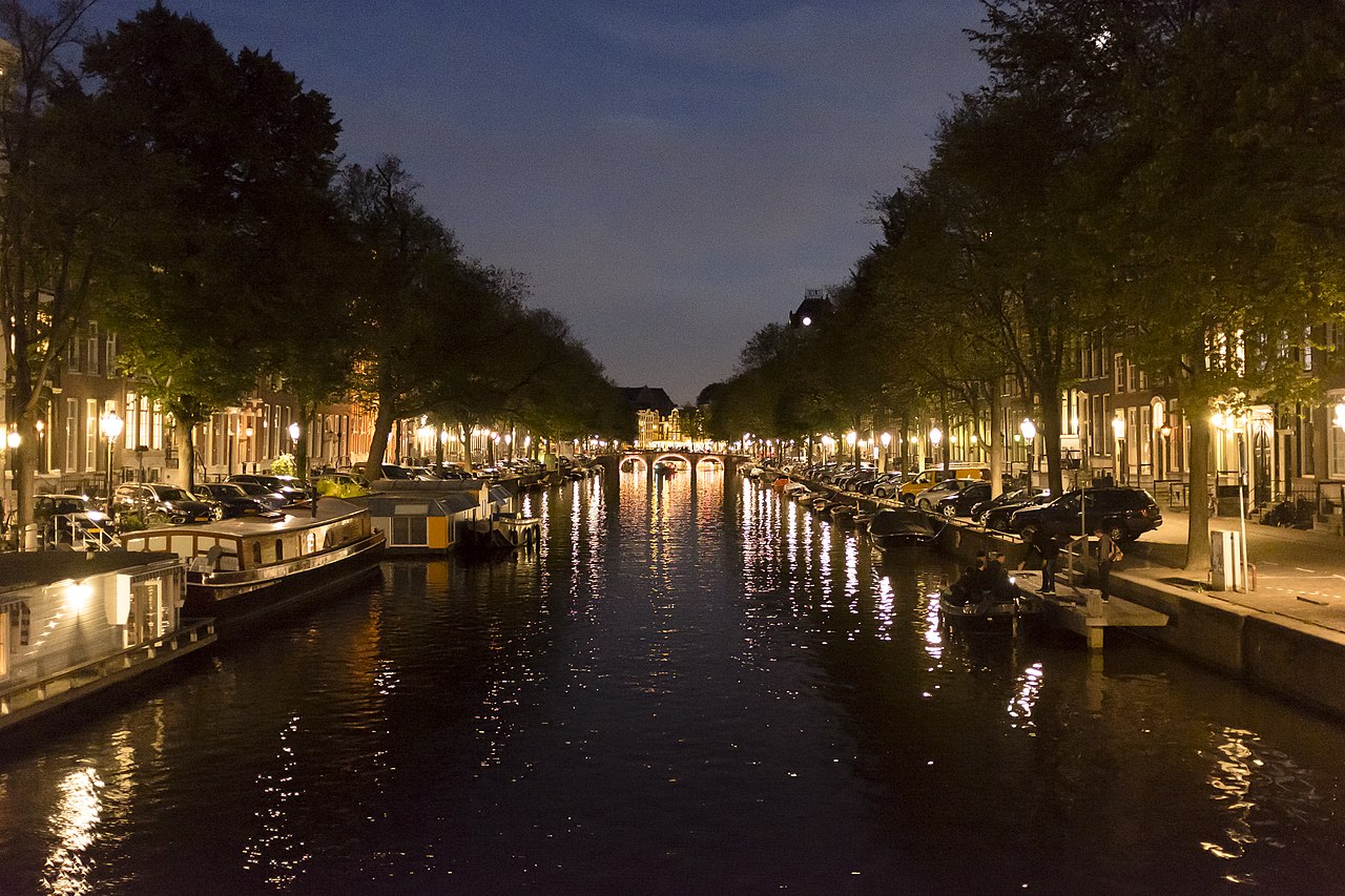
Amsterdam, capital of the Netherlands, has more than 100 kilometers (62 mi) of grachten (canals), about 90 islands and 1,500 bridges. The three main canals (Herengracht, Prinsengracht and Keizersgracht), dug in the 17th century during the Dutch Golden Age, form concentric belts around the city, known as the Grachtengordel. Alongside the main canals are 1550 monumental buildings. The 17th-century canal ring area, including the Prinsengracht, Keizersgracht, Herengracht and Jordaan, were listed as UNESCO World Heritage Site in 2010, contributing to Amsterdam's fame as the "Venice of the North".
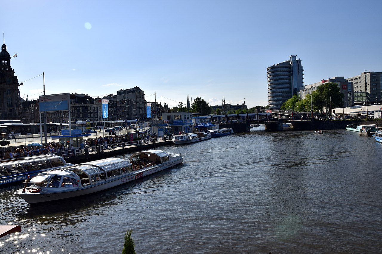
 Numerous tourists view Amsterdam from canal boat tours (2015)
Much of the Amsterdam canal system is the successful outcome of city planning. In the early part of the 17th century, with immigration rising, a comprehensive plan was put together, calling for four main, concentric half-circles of canals with their ends resting on the IJ Bay. Known as the "grachtengordel",[1] three of the canals are mostly for residential development (Herengracht or ‘’Patricians' Canal’’; Keizersgracht or ‘’Emperor's Canal’’; and Prinsengracht or ‘’Prince's Canal’’), and a fourth, outer canal, the Singelgracht, for purposes of defense and water management. The plan also envisaged interconnecting canals along radii; a set of parallel canals in the Jordaan quarter (primarily for the transportation of goods, for example, beer); the conversion of an existing, inner perimeter canal (Singel) from a defensive purpose to residential and commercial development; and more than one hundred bridges. The defensive purpose of the Nassau/Stadhouderskade was served by moat and earthen dikes, with gates at transit points but otherwise no masonry superstructures.[2]
Construction proceeded from west to east, across the breadth of the layout, like a gigantic windshield wiper as the historian Geert Mak calls it – not from the center outwards as a popular myth has it. Construction of the north-western sector was started in 1613 and was finished around 1625. After 1664, building in the southern sector was started, although slowly because of an economic depression.[which?] The eastern part of the concentric canal plan, covering the area between the Amstel river and the IJ Bay, was not implemented for a long time. In the following centuries, the land went mostly for park, the Botanical garden, old age homes, theaters and other public facilities – and for waterways without much plan.[3]
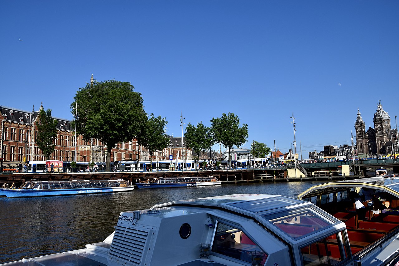
Several parts of the city and of the urban area are polders, recognizable by their postfix -meer meaning 'lake', such as Aalsmeer, Bijlmermeer, Haarlemmermeer, and Watergraafsmeer. The canals in Amsterdam are now used for tourism, recreation, houseboats, and a relatively small amount of private transport compared to the main modes of walking, light rail, subway, and bicycle. Most of the canals are paralleled by automobile roads on both sides.


![[node:title]](/sites/default/files/styles/640x320/public/default_images/default_0.JPG?itok=nAKl_DR1)


Add new comment