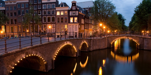
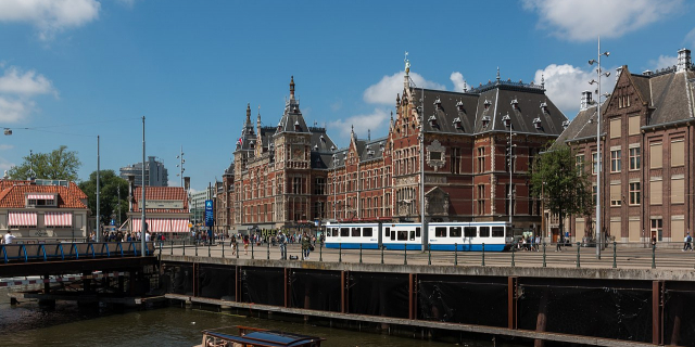
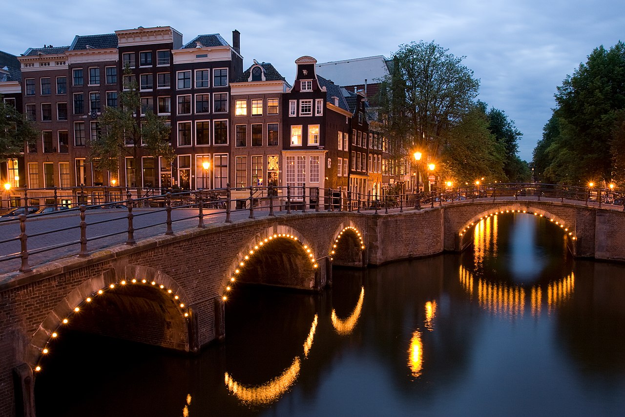
The Keizersgracht (Dutch pronunciation: [ˈkɛizərsˌxrɑxt]; "Emperor's canal") is a canal in Amsterdam, the Netherlands. It is the second of the three main Amsterdam canals that together form the Grachtengordel, or canal belt, and lies between the inner Herengracht and outer Prinsengracht.
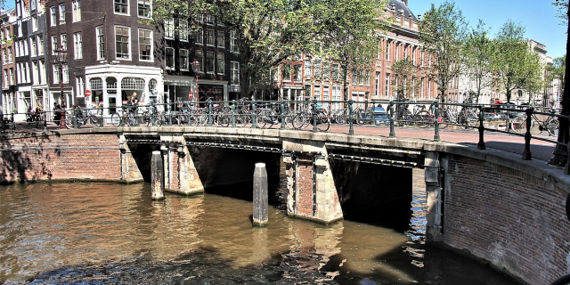
The first part of the Keizersgracht, between Brouwersgracht and (approximately) the current Leidsegracht, was dug in the summer of 1615 at the initiative of mayor Frans Hendricksz. Oetgens, city carpenter Hendrick Jacobsz Staets and city surveyor Lucas Jansz Sinck. The Keizersgracht was named after Maximilian I, Holy Roman Emperor.[1] It is the widest canal in the center of Amsterdam, namely one hundred Amsterdam feet, that is 28.31 metres (92.9 ft). The Keizersgracht is the second of the three main canals to have been dug; the Prinsengracht was dug in 1614.
In September 1614 there arose an intention to turn the Keizersgracht into a chic boulevard without water, following the example of Lange Voorhout in The Hague. This idea was abandoned for a number of reasons. It was expected that the future buyers of lots on the Keizersgracht would want to be able to reach their home or warehouse by boat. Other considerations may have been the need for water storage, the easier supply of building and raising material, but especially the shortage of infill material. The construction of the fortifications at the same time also required a lot of infill material.
The allotment on the east side was completed in November 1615. The plots were given the same width, 30 feet, as on the Herengracht. The buildings went up quickly; by 1618 hardly any vacant lots remained.
The section between the Leidsegracht and the Amstel belongs to the fourth Amsterdam expansion of 1658. The actual digging of this part of the Keizersgracht began in 1663. In 1667 both parts of the Keizersgracht were connected to each other. The section between the Amstel and the Plantage Muidergracht was laid last. This part was named Nieuwe Keizersgracht. During the second phase in 1663, city architect Daniël Stalpaert devised an additional street between Keizersgracht and Prinsengracht, the Kerkstraat, in order to provide the canal houses with a back entrance where they could build a coach house.
In 1949 the municipality had all the trees on the canal cut down due to the elm disease, after which linden trees were planted.


![[node:title]](/sites/default/files/styles/640x320/public/default_images/default_0.JPG?itok=nAKl_DR1)


Add new comment