Four Corners
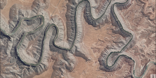
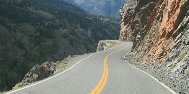
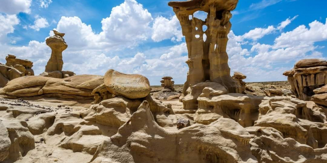
The Four Corners is a region of the Southwestern United States consisting of the southwestern corner of Colorado, southeastern corner of Utah, northeastern corner of Arizona, and northwestern corner of New Mexico. Most of the Four Corners region belongs to semi-autonomous Native American nations, the largest of which is the Navajo Nation, followed by Hopi, Ute, and Zuni tribal reserves and nations. The Four Corners region is part of a larger region known as the Colorado Plateau and is mostly rural, rugged, and arid.
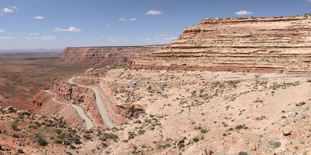
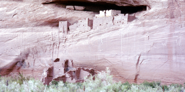
The Four Corners area is named after the quadripoint at the intersection of approximately 37° north latitude with 109° 03′ west longitude, where the boundaries of the four states meet, and are marked by the Four Corners Monument. It is the only location in the United States where four states meet. In addition to the monument, commonly visited areas within Four Corners include Monument Valley, Mesa Verde National Park, Chaco Can...Read more
The Four Corners is a region of the Southwestern United States consisting of the southwestern corner of Colorado, southeastern corner of Utah, northeastern corner of Arizona, and northwestern corner of New Mexico. Most of the Four Corners region belongs to semi-autonomous Native American nations, the largest of which is the Navajo Nation, followed by Hopi, Ute, and Zuni tribal reserves and nations. The Four Corners region is part of a larger region known as the Colorado Plateau and is mostly rural, rugged, and arid.
The Four Corners area is named after the quadripoint at the intersection of approximately 37° north latitude with 109° 03′ west longitude, where the boundaries of the four states meet, and are marked by the Four Corners Monument. It is the only location in the United States where four states meet. In addition to the monument, commonly visited areas within Four Corners include Monument Valley, Mesa Verde National Park, Chaco Canyon, Canyons of the Ancients National Monument and Canyon de Chelly National Monument. The most populous city in the Four Corners region is Farmington, New Mexico, followed by Durango, Colorado.
The United States acquired the four corners region from Mexico after the end of the Mexican–American War in 1848. In 1863 Congress created the Arizona Territory from the western part of New Mexico Territory. The boundary was legally defined as a line running due south from the southwest corner of Colorado Territory, which had been created in 1861. This was an unusual act of Congress, which almost always defined the boundaries of new territories as lines of latitude or longitude, or following rivers, but seldom as extensions of other boundaries.
By defining one boundary as starting at the corner of another, Congress ensured the eventual creation of four states meeting at a point, regardless of the inevitable errors of boundary surveying.[1] Due to a "standard" survey error of the time, the originally surveyed location of the "Four Corners" point was unintentionally located by its initial surveyor as being 1,821 feet (555 m) east of the original location actually specified by the US Congress in 1863. The area was first surveyed by the U.S. Government in 1868 as part of an effort to make Colorado Territory into a state, the first of the Four Corners states formed.
The first marker was placed at the originally surveyed and current spot in 1868.[2] In 1925, some 57 years after Congress had first attempted to specify the spot, the problems surrounding the originally misplaced marker were brought up before the US Supreme Court. In order to amicably remedy this original surveying error, the US Supreme Court then redefined the point of the Four Corners, officially moving the Four Corners point roughly 1,800 feet (550 m) east, to where the original survey had first held it to be all along, and to where it remains to this day, duly marked.[3] This initial survey error has resulted in some longstanding misunderstandings about the correct location of the Four Corners marker, some of which remain to this day.[4] The first Navajo tribal government was established in 1923 to regulate an increasing number of oil exploration activities on Navajo land.[5]


 - Public domain")


![[node:title]](/sites/default/files/styles/640x320/public/default_images/default_0.JPG?itok=nAKl_DR1)


Add new comment