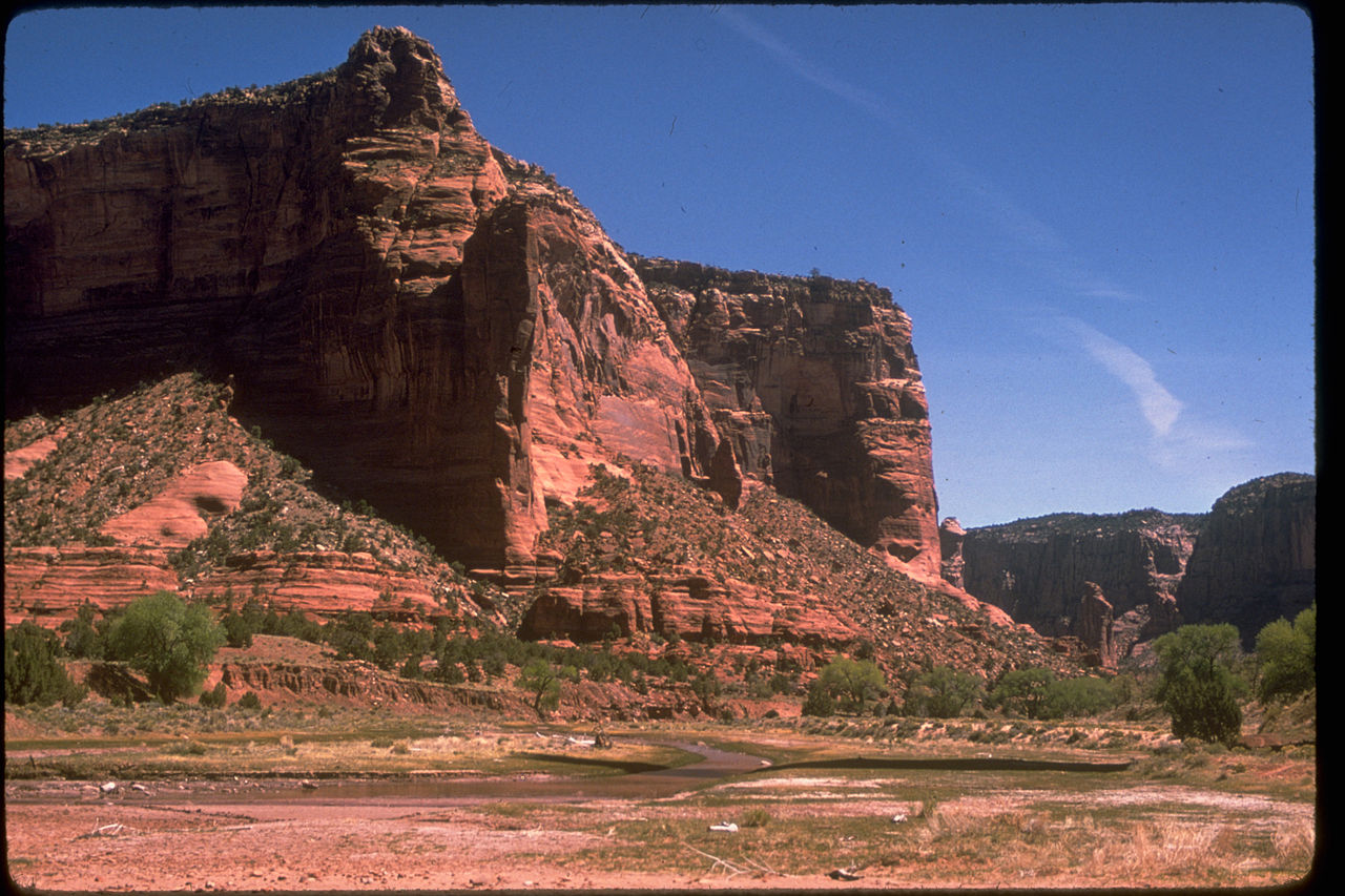
Canyon de Chelly National Monument
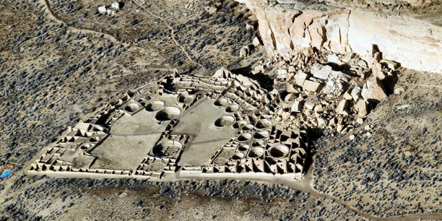
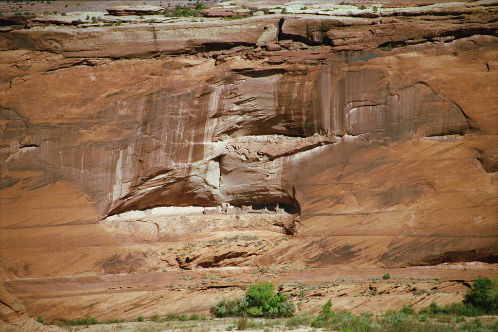
Canyon de Chelly National Monument ( də-SHAY) was established on April 1, 1931, as a unit of the National Park Service. Located in northeastern Arizona, it is within the boundaries of the Navajo Nation and lies in the Four Corners region. Reflecting one of the longest continuously inhabited landscapes of North America, it preserves ruins of the indigenous tribes that lived in the area, from the Ancestral Puebloans (also known as the Anasazi) to the Navajo. The monument covers 83,840 acres (131 sq mi; 339 km2) and encompasses the floors and rims of the three major canyons: de Chelly, del Muerto, and Monument. These canyons were cut by streams with headwaters in the Chuska Mountains just to the east of the monument. None of the land is federally owned. Canyon de Chelly is one of the most visited national monuments in the United States.
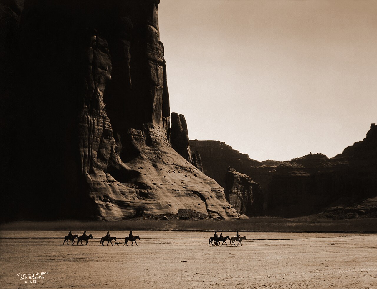
Canyon de Chelly long served as a home for Navajo people before it was invaded by forces led by future New Mexico governor Lt. Antonio Narbona in 1805. In 1863, Col. Kit Carson sent troops through the canyon, killing 23 Navajo, seizing 200 sheep, and destroying hogans, as well as peach orchards and other crops. The resulting demoralization led to the surrender of the Navajos and their removal to Bosque Redondo, New Mexico.[1]


![[node:title]](/sites/default/files/styles/640x320/public/default_images/default_0.JPG?itok=nAKl_DR1)
 - CC BY-SA 2.0")

 - Public domain")


 - Public domain")


Add new comment