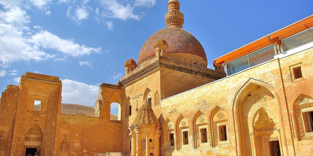
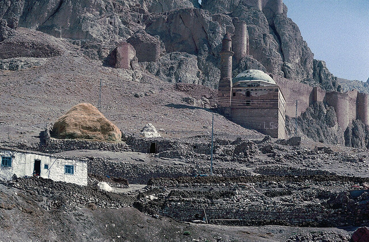
Doğubayazıt
Doğubayazıt (Kurdish: Bazîd) is a district of Ağrı Province of Turkey, and it is the easternmost district of Turkey, lying near the border with Iran. Its elevation is 1625m and its area is 2,383 km². Doğubayazıt's population in 2010 was 115,354 (up from 73,794 in 1980) of which 69,447 live in the town of Doğubayazıt, the remainder in the surrounding countryside.
The town of Doğubayazıt is a settlement with a long history. It lies 15 km southwest of Mount Ararat, 93 km east of the city of Ağrı and 35 km from the Iranian border. The town stands on a plain surrounded by some of Turkey's highest peaks including: Ararat (5,137m), Little Ararat (3,896m), Tendürek Dağı (3,533m), Kaletepe (3,196m) Arıdağı (2,934m) and Göllertepe (2,643m).
The climate on the plain is hot and dry in summer, cold and dry in winter.


![[node:title]](/sites/default/files/styles/640x320/public/pla/images/2021-03/Monasterio_Khor_Virap%2C_Armenia%2C_2016-10-01%2C_DD_25.jpeg?h=7c882872&itok=TSlbC6VX)


 - CC BY-SA 3.0")


Adicionar novo comentário